Tashla night lights from space
Night Light of Tashla (Orenburg Oblast) from space (Russia) Src. Average luminocity for 10x10km area is 1.8137% and for 50x50km: 0.1069%.
Analysis of Tashla night lights 2016
Square area 10x10 km:
 0%
0%90-99
0%80-89
0%70-79
0.98%60-69
0.14%50-59
0.56%40-49
0.56%30-39
0.56%20-29
0.28%10-19
0.28%0-9
96.64%Square area 50x50 km:
0%90-99
0%80-89
0%70-79
0.04%60-69
0.01%50-59
0.04%40-49
0.02%30-39
0.04%20-29
0.08%10-19
0.01%0-9
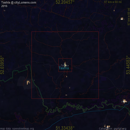
99.76%Clear (daylight) street map image can be seen on geolist.org.
Map coordinates:
52° 12' 16.5" North, 52° 2' 22.5" East
51° 46' 17.7" North, 52° 44' 33.7" East
51° 20' 3.8" North, 53° 26' 45" East
Some cities around Tashla sort by population:
• Aqsay, KZ
69.4 km =43.1 mi,  165°
165°
• Sorochinsk
78.9 km =49 mi,  21°
21°
• Novosergiyevka
71.9 km =44.7 mi,  60°
60°
• Ilek
51.9 km =32.2 mi,  121°
121°
• Perevolotskiy
100.4 km =62.4 mi,  83°
83°
• Totskoye
83.8 km =52.1 mi,  0°
0°
• Krasnokholm
99.4 km =61.8 mi,  101°
101°
• Fedorovka, KZ
81.9 km =50.9 mi,  221°
221°
484232 (p: 6,651)
Sources (retrieved 2019-11-25):
» Earth at Night: Flat Maps 2012, 2016