Atasū night lights from space
Night Light of Atasū (Karaganda) from space (Kazakhstan) Src. Average luminocity for 10x10km area is 0.3824% and for 50x50km: 0.0145%.
Analysis of Atasū night lights 2016
Square area 10x10 km:
 0%
0%90-99
0%80-89
0%70-79
0%60-69
0%50-59
0%40-49
0%30-39
0.6%20-29
0%10-19
1.19%0-9
98.21%Square area 50x50 km:
0%90-99
0%80-89
0%70-79
0%60-69
0%50-59
0%40-49
0%30-39
0.02%20-29
0%10-19
0.04%0-9
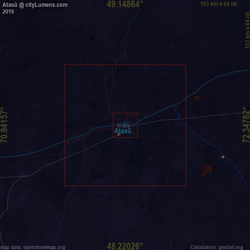
99.93%Clear (daylight) street map image can be seen on geolist.org.
Map coordinates:
49° 8' 55.1" North, 70° 56' 29.7" East
48° 41' 11.7" North, 71° 38' 40.9" East
48° 13' 12.9" North, 72° 20' 52.2" East
Some cities around Atasū sort by population:
• Soran
150.2 km =93.3 mi,  35°
35°
• Shakhtinsk
132.9 km =82.6 mi,  31°
31°
• Abay
137.7 km =85.6 mi, 39°
• Qarazhal
98.3 km =61.1 mi,  219°
219°
• Shakhan
145.7 km =90.5 mi, 30°
• Aktau
114 km =70.8 mi,  129°
129°
• Aqadyr
101.3 km =62.9 mi,  117°
117°
• Novodolinskiy
137.2 km =85.3 mi, 34°
1526041 (p: 13,184)
Sources (retrieved 2019-11-25):
» Earth at Night: Flat Maps 2012, 2016