Shakhan night lights from space
Night Light of Shakhan (Karaganda) from space (Kazakhstan) Src. Average luminocity for 10x10km area is 0.8944% and for 50x50km: 1.5802%.
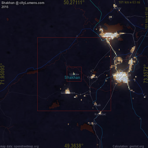
Analysis of Shakhan night lights 2016
Square area 10x10 km:
 0%
0%90-99
0%80-89
0%70-79
0%60-69
0.53%50-59
0.53%40-49
0.53%30-39
0%20-29
0%10-19
0%0-9
98.4%Square area 50x50 km:
0.1%90-99
0.19%80-89
0.19%70-79
0.16%60-69
0.28%50-59
0.26%40-49
0.24%30-39
0.16%20-29
0.48%10-19
0.94%0-9
97.01%Clear (daylight) street map image can be seen on geolist.org.
Map coordinates:
50° 16' 16" North, 71° 57' 3.4" East
49° 49' 10.5" North, 72° 39' 14.7" East
49° 21' 49.7" North, 73° 21' 25.9" East
Some cities around Shakhan sort by population:
• Karagandy
32.2 km =20 mi,  93°
93°
• Temirtau
34.3 km =21.3 mi,  40°
40°
• Soran
13.5 km =8.4 mi,  103°
103°
• Abay
25.3 km =15.7 mi,  143°
143°
• Aktas
22.5 km =14 mi, 101°
• Aktau
54.8 km =34.1 mi,  32°
32°
• Osakarovka
82.8 km =51.4 mi,  355°
355°
• Novodolinskiy
13.2 km =8.2 mi,  162°
162°
1519333 (p: 13,273)
Sources (retrieved 2019-11-25):
» Earth at Night: Flat Maps 2012, 2016