Aktau night lights from space
Night Light of Aktau (Karaganda) from space (Kazakhstan) Src. Average luminocity for 10x10km area is 0% and for 50x50km: 0.0221%.
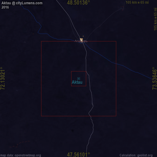
Analysis of Aktau night lights 2016
Square area 10x10 km:
 0%
0%90-99
0%80-89
0%70-79
0%60-69
0%50-59
0%40-49
0%30-39
0%20-29
0%10-19
0%0-9
100%Square area 50x50 km:
0%90-99
0%80-89
0%70-79
0%60-69
0%50-59
0%40-49
0.02%30-39
0.01%20-29
0.02%10-19
0%0-9
99.95%Clear (daylight) street map image can be seen on geolist.org.
Map coordinates:
48° 30' 4.9" North, 72° 7' 48.8" East
48° 1' 60" North, 72° 49' 60" East
47° 33' 39.6" North, 73° 32' 11.3" East
Some cities around Aktau sort by population:
• Soran
195.4 km =121.4 mi,  0°
0°
• Shakhtinsk
187.1 km =116.3 mi,  354°
354°
• Abay
178.2 km =110.7 mi, 0°
• Qarazhal
151.5 km =94.1 mi,  268°
268°
• Atasū
114 km =70.8 mi,  309°
309°
• Aktas
194.4 km =120.8 mi, 2°
• Aqadyr
25.3 km =15.7 mi, 4°
• Novodolinskiy
186.3 km =115.8 mi,  357°
357°
1526601 (p: 9,977)
Sources (retrieved 2019-11-25):
» Earth at Night: Flat Maps 2012, 2016