Aqadyr night lights from space
Night Light of Aqadyr (Karaganda) from space (Kazakhstan) Src. Average luminocity for 10x10km area is 3.2143% and for 50x50km: 0.1224%.
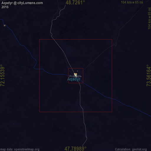
Analysis of Aqadyr night lights 2016
Square area 10x10 km:
 0%
0%90-99
0.6%80-89
0%70-79
0.6%60-69
1.19%50-59
0.6%40-49
0.45%30-39
0.74%20-29
1.19%10-19
0%0-9
94.64%Square area 50x50 km:
0%90-99
0.02%80-89
0%70-79
0.02%60-69
0.05%50-59
0.02%40-49
0.02%30-39
0.03%20-29
0.05%10-19
0%0-9
99.8%Clear (daylight) street map image can be seen on geolist.org.
Map coordinates:
48° 43' 34" North, 72° 9' 19.4" East
48° 15' 36.5" North, 72° 51' 30.6" East
47° 47' 23.6" North, 73° 33' 41.9" East
Some cities around Aqadyr sort by population:
• Soran
170.2 km =105.8 mi,  359°
359°
• Shakhtinsk
162.2 km =100.8 mi,  353°
353°
• Abay
153 km =95.1 mi,  0°
0°
• Qarazhal
155.6 km =96.7 mi,  259°
259°
• Atasū
101.3 km =62.9 mi,  297°
297°
• Aktau
25.3 km =15.7 mi,  184°
184°
• Aktas
169.1 km =105.1 mi, 2°
• Novodolinskiy
161.2 km =100.2 mi, 356°
1526274 (p: 9,710)
Sources (retrieved 2019-11-25):
» Earth at Night: Flat Maps 2012, 2016