Aktas night lights from space
Night Light of Aktas (Karaganda) from space (Kazakhstan) Src. Average luminocity for 10x10km area is 4.1845% and for 50x50km: 6.5688%.
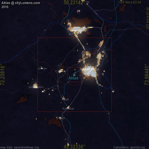
Analysis of Aktas night lights 2016
Square area 10x10 km:
 0%
0%90-99
0.27%80-89
0%70-79
0.27%60-69
0%50-59
1.07%40-49
0.4%30-39
0.13%20-29
2.14%10-19
9.76%0-9
85.96%Square area 50x50 km:
0.74%90-99
1.03%80-89
0.59%70-79
0.79%60-69
0.85%50-59
0.91%40-49
1.08%30-39
0.8%20-29
2.37%10-19
5.43%0-9
85.41%Clear (daylight) street map image can be seen on geolist.org.
Map coordinates:
50° 13' 53.1" North, 72° 15' 29.4" East
49° 46' 46.3" North, 72° 57' 40.6" East
49° 19' 24.1" North, 73° 39' 51.9" East
Some cities around Aktas sort by population:
• Karagandy
10.4 km =6.5 mi,  76°
76°
• Temirtau
30.6 km =19 mi,  0°
0°
• Soran
9 km =5.6 mi,  278°
278°
• Shakhtinsk
27.7 km =17.2 mi,  253°
253°
• Abay
17.5 km =10.9 mi,  204°
204°
• Shakhan
22.5 km =14 mi, 281°
• Aktau
51.2 km =31.8 mi,  8°
8°
• Novodolinskiy
19.9 km =12.4 mi, 245°
1526619 (p: 9,888)
Sources (retrieved 2019-11-25):
» Earth at Night: Flat Maps 2012, 2016