Wanju night lights from space
Night Light of Wanju (Jeollabuk-do) from space (South Korea) Src. Average luminocity for 10x10km area is 83.3234% and for 50x50km: 21.7147%.
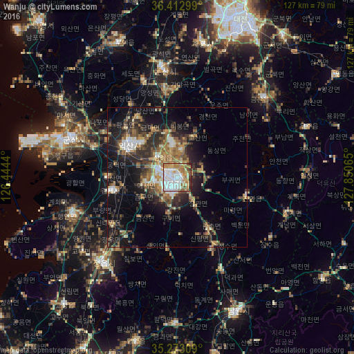
Analysis of Wanju night lights 2016
Square area 10x10 km:
 32.17%
90-99
21.15%80-89
10.49%70-79
8.39%60-69
15.56%50-59
5.59%40-49
2.62%30-39
2.8%20-29
1.22%10-19
0%0-9
0%Square area 50x50 km:
2.72%90-99
3.17%80-89
1.95%70-79
2.34%60-69
3.97%50-59
3.83%40-49
3.52%30-39
5.06%20-29
7.12%10-19
11.92%0-9
54.4%Clear (daylight) street map image can be seen on geolist.org.
Map coordinates:
36° 24' 46.8" North, 126° 26' 39.8" East
35° 50' 42.3" North, 127° 8' 51.1" East
35° 16' 23.1" North, 127° 51' 2.3" East
Some cities around Wanju sort by population:
• Jeonju
2.6 km =1.6 mi,  177°
177°
• Iksan
20.6 km =12.8 mi,  302°
302°
• Jeongeup
34.3 km =21.3 mi,  217°
217°
• Kimje
23.8 km =14.8 mi,  258°
258°
• Imsil
28.4 km =17.6 mi,  155°
155°
• Jinan-gun
25.7 km =16 mi,  103°
103°
• Changsu
39.7 km =24.7 mi,  123°
123°
• Yŏnmu
31.9 km =19.8 mi,  352°
352°
1833466 (p: 84,009)
Sources (retrieved 2019-11-25):
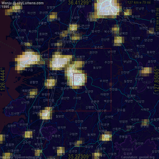
» NASA, Earths city lights 1995
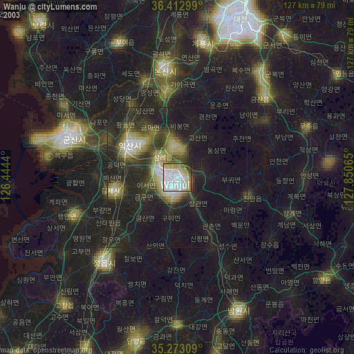
» NASA city lights 2003
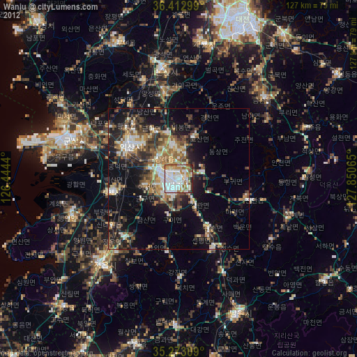
» Earth at Night: Flat Maps 2012, 2016