Kimje night lights from space
Night Light of Kimje (Jeollabuk-do) from space (South Korea) Src. Average luminocity for 10x10km area is 25.6294% and for 50x50km: 29.0867%.
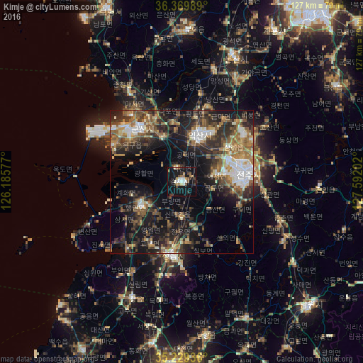
Analysis of Kimje night lights 2016
Square area 10x10 km:
 2.97%
2.97%90-99
4.72%80-89
2.1%70-79
2.1%60-69
3.85%50-59
3.15%40-49
3.85%30-39
4.02%20-29
2.62%10-19
36.19%0-9
34.44%Square area 50x50 km:
3.48%90-99
4.4%80-89
2.38%70-79
3.16%60-69
5.01%50-59
6.11%40-49
4.73%30-39
6.86%20-29
9.65%10-19
17.3%0-9
36.92%Clear (daylight) street map image can be seen on geolist.org.
Map coordinates:
36° 22' 11.6" North, 126° 11' 8.8" East
35° 48' 6" North, 126° 53' 20" East
35° 13' 45.7" North, 127° 35' 31.3" East
Some cities around Kimje sort by population:
• Jeonju
23.6 km =14.7 mi,  84°
84°
• Iksan
16.9 km =10.5 mi,  20°
20°
• Gunsan
25.4 km =15.8 mi,  320°
320°
• Jeongeup
22.6 km =14 mi,  173°
173°
• Wanju
23.8 km =14.8 mi, 78°
• Imsil
41 km =25.5 mi,  120°
120°
• Yŏnmu
41.1 km =25.5 mi,  27°
27°
• Puan
16.4 km =10.2 mi,  239°
239°
1842939 (p: 44,894)
Sources (retrieved 2019-11-25):
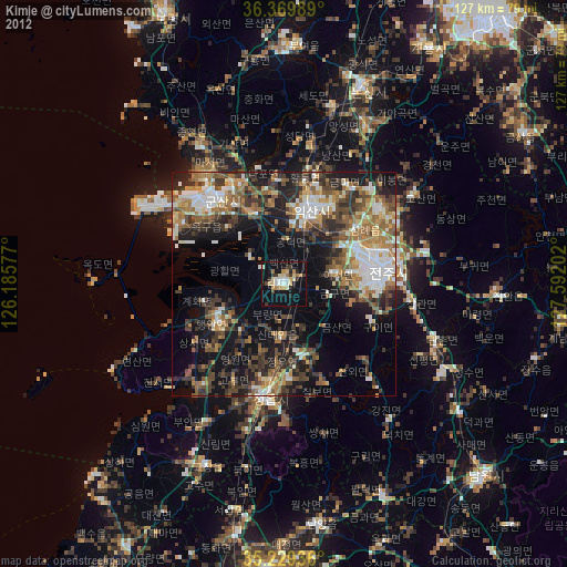
» Earth at Night: Flat Maps 2012, 2016