Tonghae night lights from space
Night Light of Tonghae (Gangwon-do) from space (South Korea) Src. Average luminocity for 10x10km area is 42.224% and for 50x50km: 10.5594%.
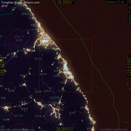


Analysis of Tonghae night lights 2016
Square area 10x10 km:
 7.31%
7.31%90-99
10.88%80-89
3.41%70-79
2.44%60-69
5.03%50-59
3.41%40-49
4.38%30-39
9.58%20-29
22.73%10-19
25.65%0-9
5.19%Square area 50x50 km:
1.08%90-99
2.19%80-89
1.35%70-79
1.27%60-69
1.16%50-59
1.48%40-49
1.06%30-39
1.87%20-29
3.4%10-19
8.27%0-9
76.88%Clear (daylight) street map image can be seen on geolist.org.
Map coordinates:
38° 5' 57.5" North, 128° 24' 13.8" East
37° 32' 38" North, 129° 6' 25" East
36° 59' 3.5" North, 129° 48' 36.3" East
Some cities around Tonghae sort by population:
• Wŏnju
104.8 km =65.1 mi,  258°
258°
• Gangneung
31.1 km =19.3 mi,  318°
318°
• Sokcho
86.5 km =53.7 mi,  328°
328°
• Eisen
90.7 km =56.4 mi,  207°
207°
• T’aebaek
42.2 km =26.2 mi,  194°
194°
• Santyoku
12.8 km =8 mi,  153°
153°
• Neietsu
69.2 km =43 mi,  234°
234°
• Pyeongchang
65.9 km =40.9 mi,  252°
252°
1892823 (p: 101,128)
Sources (retrieved 2019-11-25):
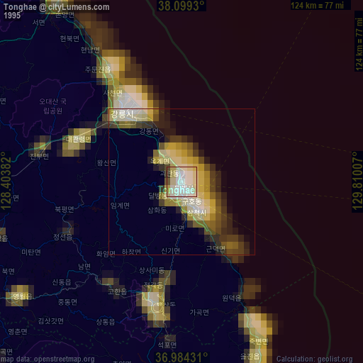
» NASA, Earths city lights 1995
» NASA city lights 2003
» Earth at Night: Flat Maps 2012, 2016