Sokcho night lights from space
Night Light of Sokcho (Gangwon-do) from space (South Korea) Src. Average luminocity for 10x10km area is 42.6276% and for 50x50km: 6.1547%.
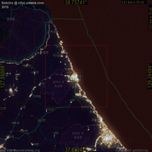
Analysis of Sokcho night lights 2016
Square area 10x10 km:
 6.29%
6.29%90-99
9.86%80-89
5.78%70-79
6.12%60-69
3.06%50-59
6.12%40-49
4.42%30-39
10.37%20-29
12.07%10-19
22.62%0-9
13.27%Square area 50x50 km:
0.29%90-99
0.94%80-89
0.97%70-79
0.83%60-69
0.69%50-59
0.89%40-49
0.47%30-39
1.04%20-29
1.79%10-19
6.38%0-9
85.71%Clear (daylight) street map image can be seen on geolist.org.
Map coordinates:
38° 45' 26.7" North, 127° 53' 19.3" East
38° 12' 25.2" North, 128° 35' 30.5" East
37° 39' 8.7" North, 129° 17' 41.8" East
Some cities around Sokcho sort by population:
• Chuncheon
83.7 km =52 mi,  243°
243°
• Gangneung
56.2 km =34.9 mi,  154°
154°
• Tonghae
86.5 km =53.7 mi, 148°
• Hongch’ŏn
84.3 km =52.4 mi,  227°
227°
• Kosong
22 km =13.7 mi,  330°
330°
• Yanggu
53.9 km =33.5 mi,  257°
257°
• Hwacheon
78.2 km =48.6 mi, 261°
• Pyeongchang
94.7 km =58.8 mi,  190°
190°
1836553 (p: 89,047)
Sources (retrieved 2019-11-25):
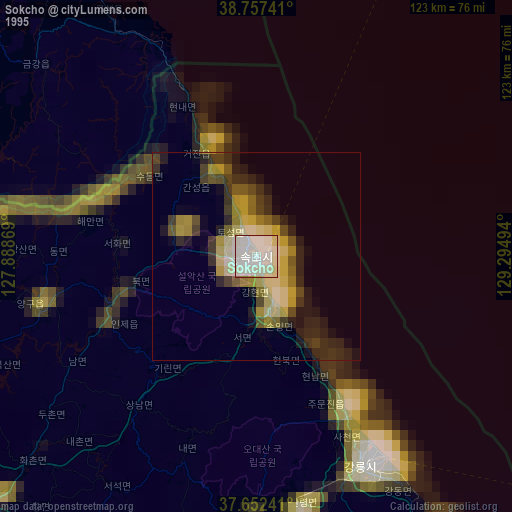
» NASA, Earths city lights 1995
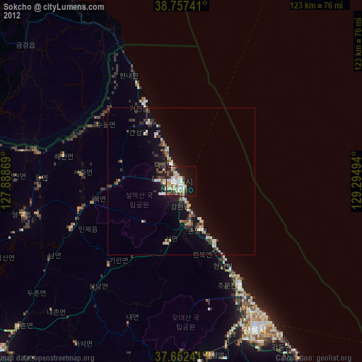
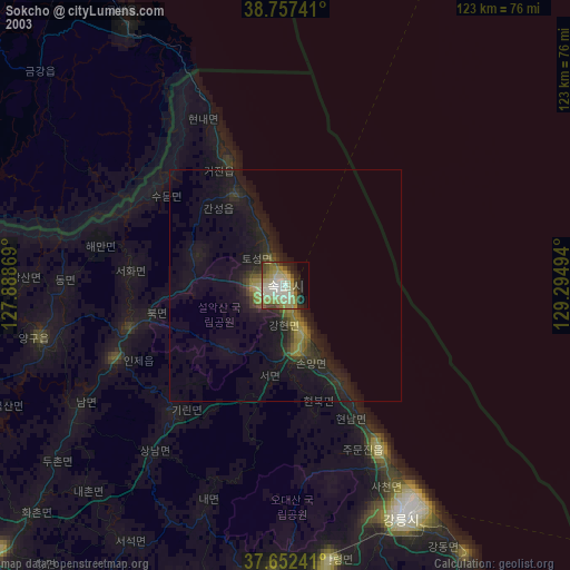
» NASA city lights 2003
» Earth at Night: Flat Maps 2012, 2016