Santyoku night lights from space
Night Light of Santyoku (Gangwon-do) from space (South Korea) Src. Average luminocity for 10x10km area is 43.5195% and for 50x50km: 7.6998%.
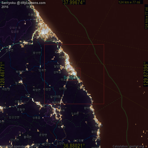
Analysis of Santyoku night lights 2016
Square area 10x10 km:
 6.01%
6.01%90-99
10.71%80-89
6.01%70-79
5.52%60-69
4.06%50-59
7.14%40-49
3.9%30-39
4.55%20-29
13.8%10-19
31.98%0-9
6.33%Square area 50x50 km:
0.74%90-99
1.44%80-89
0.84%70-79
0.87%60-69
0.77%50-59
1.04%40-49
0.67%30-39
1.46%20-29
2.73%10-19
6.2%0-9
83.24%Clear (daylight) street map image can be seen on geolist.org.
Map coordinates:
37° 59' 48.3" North, 128° 28' 3.8" East
37° 26' 26" North, 129° 10' 15" East
36° 52' 48.8" North, 129° 52' 26.3" East
Some cities around Santyoku sort by population:
• Gangneung
43.5 km =27 mi,  322°
322°
• Andong
105 km =65.2 mi,  202°
202°
• Tonghae
12.8 km =8 mi,  333°
333°
• Sokcho
99.2 km =61.6 mi, 329°
• Eisen
83.8 km =52.1 mi,  214°
214°
• T’aebaek
33.5 km =20.8 mi, 208°
• Neietsu
68.3 km =42.4 mi,  245°
245°
• Pyeongchang
69.1 km =42.9 mi,  263°
263°
1838069 (p: 42,145)
Sources (retrieved 2019-11-25):
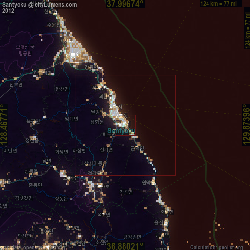
» Earth at Night: Flat Maps 2012, 2016