Tangjin night lights from space
Night Light of Tangjin (Chungcheongnam-do) from space (South Korea) Src. Average luminocity for 10x10km area is 24.8653% and for 50x50km: 25.1963%.
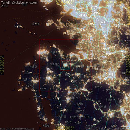
Analysis of Tangjin night lights 2016
Square area 10x10 km:
 3.25%
3.25%90-99
3.25%80-89
1.95%70-79
0%60-69
2.27%50-59
4.71%40-49
5.19%30-39
4.87%20-29
7.79%10-19
39.29%0-9
27.44%Square area 50x50 km:
1.85%90-99
3.81%80-89
2.38%70-79
2.51%60-69
4.51%50-59
5.56%40-49
4%30-39
4.96%20-29
7.75%10-19
20.97%0-9
41.69%Clear (daylight) street map image can be seen on geolist.org.
Map coordinates:
37° 27' 16.8" North, 125° 55' 35.8" East
36° 53' 40" North, 126° 37' 47" East
36° 19' 48.2" North, 127° 19' 58.3" East
Some cities around Tangjin sort by population:
• Hwaseong-si
38.5 km =23.9 mi,  25°
25°
• Cheonan
47.5 km =29.5 mi,  101°
101°
• Asan
35.5 km =22.1 mi,  110°
110°
• Hongseong
32.8 km =20.4 mi,  174°
174°
• Seosan
20.2 km =12.6 mi,  231°
231°
• Yesan
30.7 km =19.1 mi,  141°
141°
• Seonghwan
44.7 km =27.8 mi,  86°
86°
• Taesal-li
17.8 km =11.1 mi,  298°
298°
1834885 (p: 32,778)
Sources (retrieved 2019-11-25):
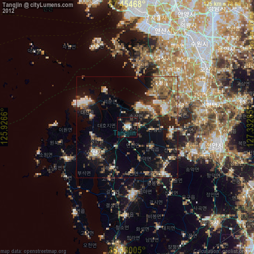
» Earth at Night: Flat Maps 2012, 2016