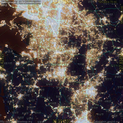
Seonghwan night lights from space
Night Light of Seonghwan (Chungcheongnam-do) from space (South Korea) Src. Average luminocity for 10x10km area is 61.5682% and for 50x50km: 47.4091%.
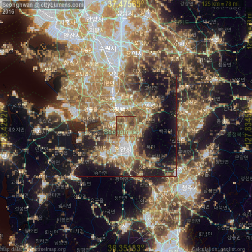
Analysis of Seonghwan night lights 2016
Square area 10x10 km:
 1.3%
1.3%90-99
1.95%80-89
8.77%70-79
9.09%60-69
30.84%50-59
33.77%40-49
10.88%30-39
3.41%20-29
0%10-19
0%0-9
0%Square area 50x50 km:
3.98%90-99
7.34%80-89
6.19%70-79
7.73%60-69
14.61%50-59
11.29%40-49
6.81%30-39
6.18%20-29
8.82%10-19
15.15%0-9
11.9%Clear (daylight) street map image can be seen on geolist.org.
Map coordinates:
37° 28' 32.3" North, 126° 25' 41.8" East
36° 54' 56" North, 127° 7' 53" East
36° 21' 4.8" North, 127° 50' 4.3" East
Some cities around Seonghwan sort by population:
• Hwaseong-si
42.7 km =26.5 mi,  319°
319°
• Cheonan
12.3 km =7.6 mi,  171°
171°
• Sejong
38.7 km =24 mi,  158°
158°
• Osan
26.9 km =16.7 mi,  348°
348°
• Asan
18.5 km =11.5 mi,  217°
217°
• Anseong
16.3 km =10.1 mi,  49°
49°
• Chinch'ŏn
28.5 km =17.7 mi,  103°
103°
• Yesan
36.9 km =22.9 mi, 224°
1836208 (p: 29,239)
Sources (retrieved 2019-11-25):
» Earth at Night: Flat Maps 2012, 2016