Yesan night lights from space
Night Light of Yesan (Chungcheongnam-do) from space (South Korea) Src. Average luminocity for 10x10km area is 28.6026% and for 50x50km: 20.8926%.
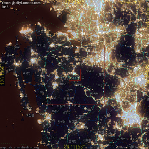
Analysis of Yesan night lights 2016
Square area 10x10 km:
 1.83%
1.83%90-99
3.3%80-89
3.11%70-79
4.4%60-69
2.56%50-59
4.58%40-49
4.03%30-39
5.13%20-29
12.09%10-19
39.93%0-9
19.05%Square area 50x50 km:
1.46%90-99
3.02%80-89
2.05%70-79
2.68%60-69
3.26%50-59
4.64%40-49
3.27%30-39
4.08%20-29
5.83%10-19
17.14%0-9
52.57%Clear (daylight) street map image can be seen on geolist.org.
Map coordinates:
37° 14' 21.8" North, 126° 8' 22.6" East
36° 40' 39.2" North, 126° 50' 33.8" East
36° 6' 41.7" North, 127° 32' 45.1" East
Some cities around Yesan sort by population:
• Cheonan
31.1 km =19.3 mi,  62°
62°
• Sejong
41.2 km =25.6 mi,  103°
103°
• Asan
18.6 km =11.6 mi,  50°
50°
• Hongseong
18 km =11.2 mi,  241°
241°
• Seosan
36.7 km =22.8 mi,  288°
288°
• Gongju
35.3 km =21.9 mi,  134°
134°
• Tangjin
30.7 km =19.1 mi,  321°
321°
• Seonghwan
36.9 km =22.9 mi,  44°
44°
1832771 (p: 39,409)
Sources (retrieved 2019-11-25):
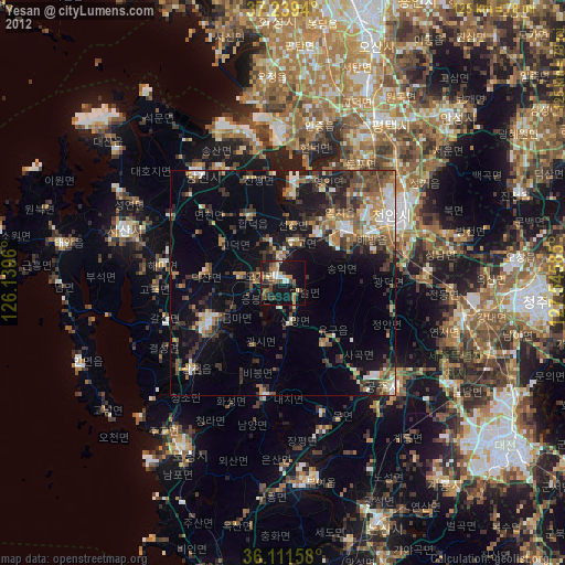
» Earth at Night: Flat Maps 2012, 2016