Hongseong night lights from space
Night Light of Hongseong (Chungcheongnam-do) from space (South Korea) Src. Average luminocity for 10x10km area is 29.6758% and for 50x50km: 12.7931%.
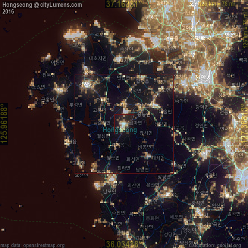
Analysis of Hongseong night lights 2016
Square area 10x10 km:
 1.65%
1.65%90-99
5.31%80-89
3.66%70-79
3.3%60-69
3.11%50-59
4.58%40-49
2.56%30-39
7.33%20-29
11.17%10-19
41.21%0-9
16.12%Square area 50x50 km:
0.44%90-99
1.31%80-89
0.97%70-79
1.19%60-69
1.44%50-59
2.54%40-49
2.25%30-39
3.77%20-29
4.97%10-19
13.61%0-9
67.51%Clear (daylight) street map image can be seen on geolist.org.
Map coordinates:
37° 9' 47.9" North, 125° 57' 42.8" East
36° 36' 3.2" North, 126° 39' 54" East
36° 2' 3.7" North, 127° 22' 5.3" East
Some cities around Hongseong sort by population:
• Asan
36.4 km =22.6 mi,  56°
56°
• Seosan
27.6 km =17.1 mi,  316°
316°
• Gongju
44.1 km =27.4 mi,  111°
111°
• Boryeong
28.6 km =17.8 mi,  192°
192°
• Yesan
18 km =11.2 mi, 61°
• Tangjin
32.8 km =20.4 mi,  354°
354°
• Buyeo
42.3 km =26.3 mi,  148°
148°
• Taesal-li
45.3 km =28.1 mi,  335°
335°
1844174 (p: 89,174)
Sources (retrieved 2019-11-25):
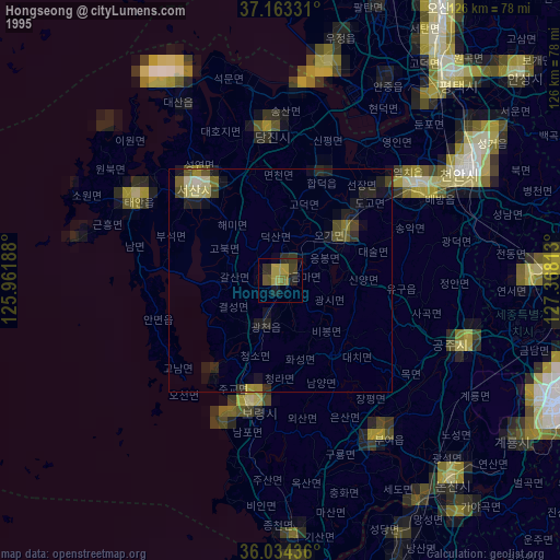
» NASA, Earths city lights 1995
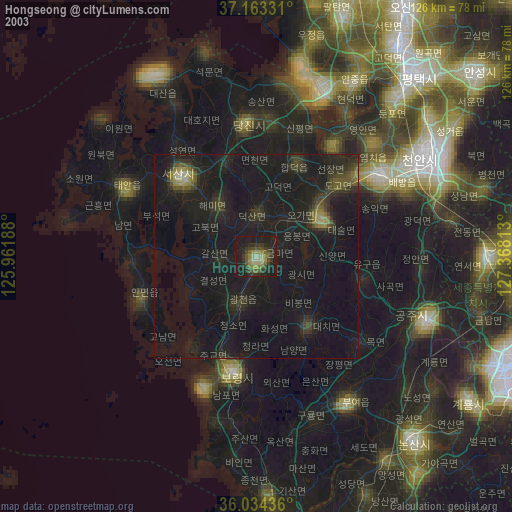
» NASA city lights 2003
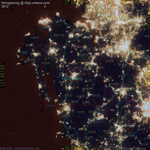
» Earth at Night: Flat Maps 2012, 2016