Taesal-li night lights from space
Night Light of Taesal-li (Chungcheongnam-do) from space (South Korea) Src. Average luminocity for 10x10km area is 25.7987% and for 50x50km: 14.3323%.
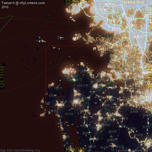
Analysis of Taesal-li night lights 2016
Square area 10x10 km:
 1.95%
1.95%90-99
4.55%80-89
3.08%70-79
2.6%60-69
4.71%50-59
2.92%40-49
4.87%30-39
6.82%20-29
6.01%10-19
19.97%0-9
42.53%Square area 50x50 km:
1.06%90-99
2.09%80-89
1.12%70-79
1.31%60-69
1.94%50-59
2.74%40-49
2.13%30-39
3.14%20-29
5.17%10-19
13.32%0-9
65.99%Clear (daylight) street map image can be seen on geolist.org.
Map coordinates:
37° 31' 51.9" North, 125° 45' 3.9" East
36° 58' 17" North, 126° 27' 15.1" East
36° 24' 27.3" North, 127° 9' 26.4" East
Some cities around Taesal-li sort by population:
• Incheon
58.3 km =36.2 mi,  22°
22°
• Ansan-si
50.9 km =31.6 mi,  39°
39°
• Hwaseong-si
41.5 km =25.8 mi,  50°
50°
• Asan
53.2 km =33.1 mi,  113°
113°
• Hongseong
45.3 km =28.1 mi,  155°
155°
• Seosan
21.1 km =13.1 mi,  180°
180°
• Yesan
47.6 km =29.6 mi,  133°
133°
• Tangjin
17.8 km =11.1 mi,  118°
118°
1835096 (p: 23,149)
Sources (retrieved 2019-11-25):
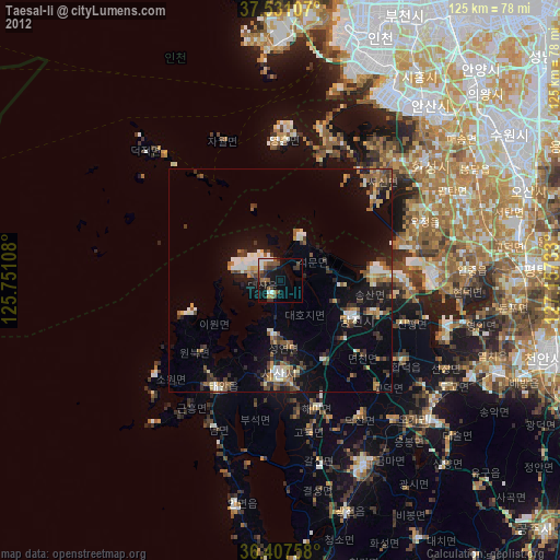
» Earth at Night: Flat Maps 2012, 2016