Seogwipo night lights from space
Night Light of Seogwipo (Jeju-do) from space (South Korea) Src. Average luminocity for 10x10km area is 43.0997% and for 50x50km: 9.6439%.
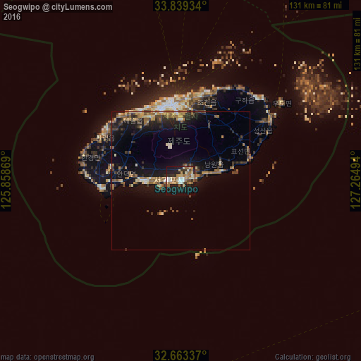
Analysis of Seogwipo night lights 2016
Square area 10x10 km:
 4.37%
4.37%90-99
7.87%80-89
6.29%70-79
6.82%60-69
11.36%50-59
4.37%40-49
2.45%30-39
5.42%20-29
11.54%10-19
35.84%0-9
3.67%Square area 50x50 km:
0.33%90-99
1.04%80-89
1.14%70-79
1.4%60-69
1.92%50-59
1.47%40-49
1.4%30-39
1.6%20-29
2.88%10-19
9.82%0-9
77.02%Clear (daylight) street map image can be seen on geolist.org.
Map coordinates:
33° 50' 21.6" North, 125° 51' 31.3" East
33° 15' 12" North, 126° 33' 42.5" East
32° 39' 48.1" North, 127° 15' 53.8" East
Some cities around Seogwipo sort by population:
• Jeju City
28.7 km =17.8 mi,  352°
352°
• Mokpo
174.1 km =108.2 mi, 354°
• Muan
193.3 km =120.1 mi,  357°
357°
• Yeongam
172.5 km =107.2 mi,  4°
4°
• Sinan
179.8 km =111.7 mi, 346°
• Haenam
146.6 km =91.1 mi, 1°
• Gaigeturi
32.6 km =20.3 mi,  316°
316°
• Beolgyo
191.4 km =118.9 mi,  22°
22°
6621166 (p: 155,691)
Sources (retrieved 2019-11-25):
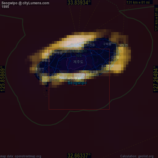
» NASA, Earths city lights 1995
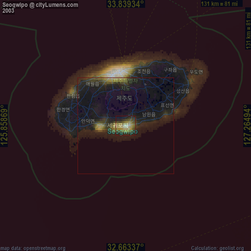
» NASA city lights 2003
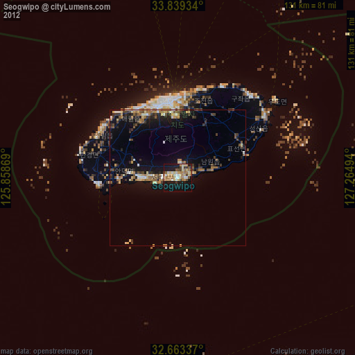
» Earth at Night: Flat Maps 2012, 2016