Gaigeturi night lights from space
Night Light of Gaigeturi (Jeju-do) from space (South Korea) Src. Average luminocity for 10x10km area is 25.5577% and for 50x50km: 13.7739%.
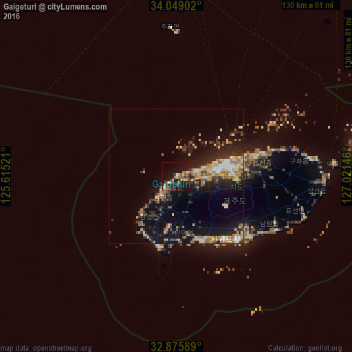
Analysis of Gaigeturi night lights 2016
Square area 10x10 km:
 0%
0%90-99
3.15%80-89
3.5%70-79
2.27%60-69
7.17%50-59
3.85%40-49
4.55%30-39
4.02%20-29
5.94%10-19
38.29%0-9
27.27%Square area 50x50 km:
0.91%90-99
2.39%80-89
1.73%70-79
1.77%60-69
2.3%50-59
1.66%40-49
1.52%30-39
2.32%20-29
4.79%10-19
12.11%0-9
68.49%Clear (daylight) street map image can be seen on geolist.org.
Map coordinates:
34° 2' 56.5" North, 125° 36' 54.8" East
33° 27' 52" North, 126° 19' 6" East
32° 52' 33.2" North, 127° 1' 17.3" East
Some cities around Gaigeturi sort by population:
• Jeju City
19.5 km =12.1 mi,  75°
75°
• Mokpo
150.1 km =93.3 mi,  2°
2°
• Seogwipo
32.6 km =20.3 mi,  136°
136°
• Muan
170.3 km =105.8 mi, 4°
• Yeongam
152.6 km =94.8 mi,  13°
13°
• Sinan
152.6 km =94.8 mi,  352°
352°
• Naju
177.8 km =110.5 mi, 11°
• Haenam
125.7 km =78.1 mi, 11°
1847050 (p: 23,717)
Sources (retrieved 2019-11-25):
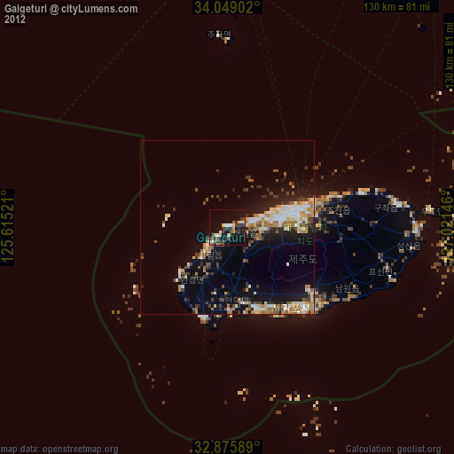
» Earth at Night: Flat Maps 2012, 2016