Mokpo night lights from space
Night Light of Mokpo (Jeollanam-do) from space (South Korea) Src. Average luminocity for 10x10km area is 67.7418% and for 50x50km: 12.2593%.
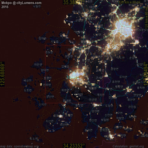
Analysis of Mokpo night lights 2016
Square area 10x10 km:
 18.86%
90-99
22.34%80-89
5.86%70-79
5.86%60-69
8.61%50-59
7.33%40-49
4.95%30-39
6.96%20-29
12.64%10-19
6.04%0-9
0.55%Square area 50x50 km:
1.1%90-99
2.05%80-89
1.12%70-79
1.23%60-69
1.37%50-59
2.4%40-49
1.71%30-39
2.99%20-29
4.04%10-19
9.2%0-9
72.8%Clear (daylight) street map image can be seen on geolist.org.
Map coordinates:
35° 23' 17.1" North, 125° 41' 19.3" East
34° 48' 46.2" North, 126° 23' 30.5" East
34° 14' 0.7" North, 127° 5' 41.8" East
Some cities around Mokpo sort by population:
• Masan
53.2 km =33.1 mi,  48°
48°
• Muan
21.3 km =13.2 mi,  21°
21°
• Hwasun
60.9 km =37.8 mi,  63°
63°
• Yeongam
27.9 km =17.3 mi,  92°
92°
• Sinan
25.9 km =16.1 mi,  273°
273°
• Naju
38.2 km =23.7 mi, 50°
• Haenam
32.9 km =20.4 mi,  144°
144°
• Yeonggwang
52.9 km =32.9 mi,  11°
11°
1841066 (p: 268,402)
Sources (retrieved 2019-11-25):
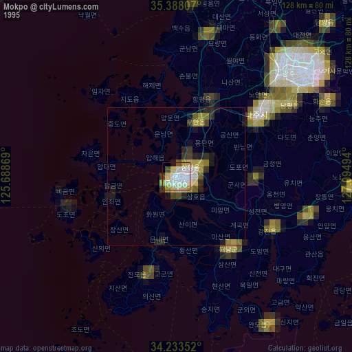
» NASA, Earths city lights 1995
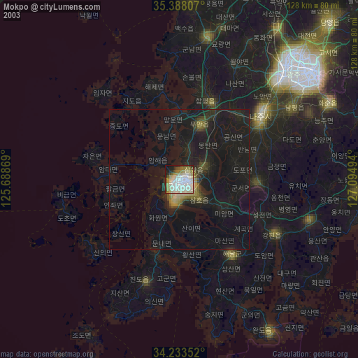
» NASA city lights 2003
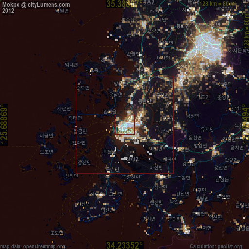
» Earth at Night: Flat Maps 2012, 2016