Munsan night lights from space
Night Light of Munsan (Gyeonggi-do) from space (South Korea) Src. Average luminocity for 10x10km area is 61.987% and for 50x50km: 37.8513%.
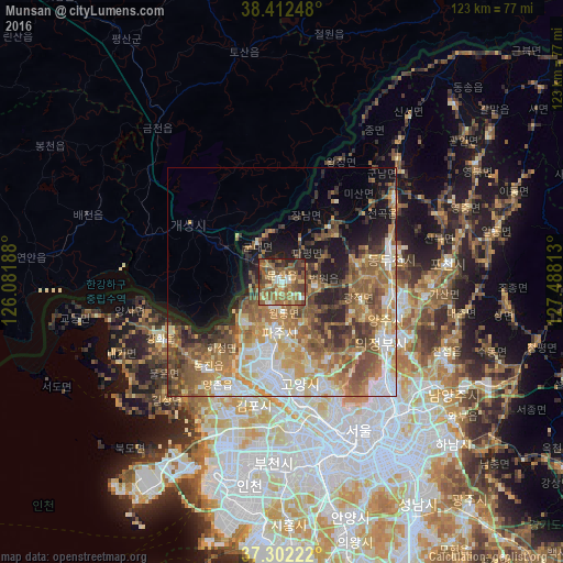
Analysis of Munsan night lights 2016
Square area 10x10 km:
 4.22%
4.22%90-99
8.93%80-89
9.25%70-79
8.12%60-69
19.97%50-59
25%40-49
12.34%30-39
6.17%20-29
5.84%10-19
0.16%0-9
0%Square area 50x50 km:
5.96%90-99
6.13%80-89
5.24%70-79
6.36%60-69
8.05%50-59
8.75%40-49
5.84%30-39
4.28%20-29
4.75%10-19
8.23%0-9
36.41%Clear (daylight) street map image can be seen on geolist.org.
Map coordinates:
38° 24' 44.9" North, 126° 4' 54.8" East
37° 51' 34" North, 126° 47' 6" East
37° 18' 8" North, 127° 29' 17.3" East
Some cities around Munsan sort by population:
• Seoul
36.8 km =22.9 mi,  152°
152°
• Goyang-si
23 km =14.3 mi,  168°
168°
• Bucheon-si
40.1 km =24.9 mi,  180°
180°
• Uijeongbu-si
26.5 km =16.5 mi,  119°
119°
• Kaesŏng, KP
23.7 km =14.7 mi,  301°
301°
• Yangju
24.5 km =15.2 mi,  96°
96°
• Ganghwa-gun
29.1 km =18.1 mi,  244°
244°
• Yongsan-dong
39.1 km =24.3 mi, 153°
1840862 (p: 43,208)
Sources (retrieved 2019-11-25):
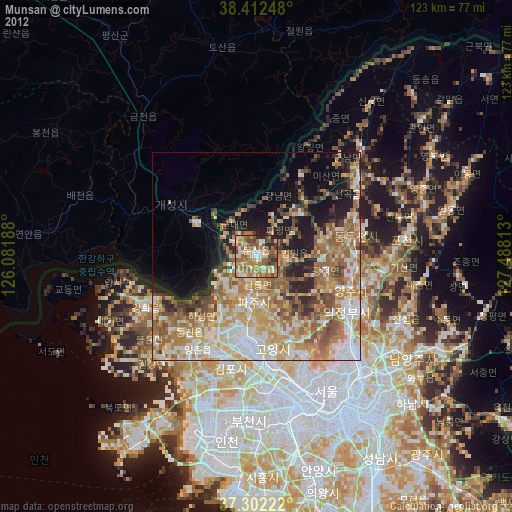
» Earth at Night: Flat Maps 2012, 2016