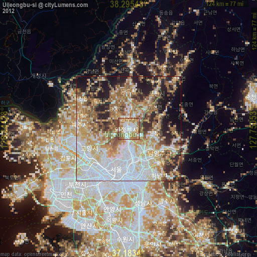
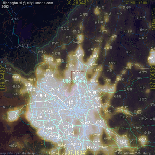
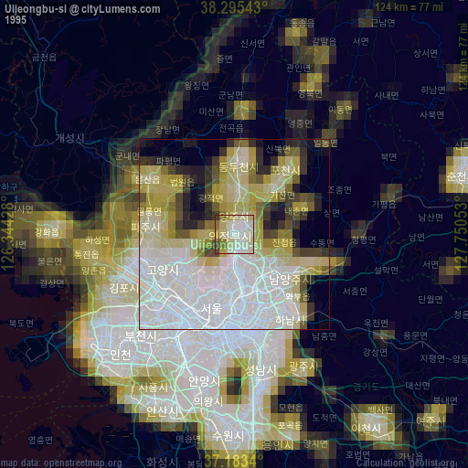
Uijeongbu-si night lights from space
Night Light of Uijeongbu-si (Gyeonggi-do) from space (South Korea) Src. Average luminocity for 10x10km area is 75.8946% and for 50x50km: 63.4098%.
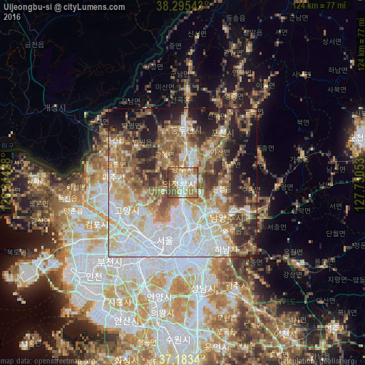
Analysis of Uijeongbu-si night lights 2016
Square area 10x10 km:
 15.31%
90-99
19.73%80-89
12.76%70-79
12.76%60-69
14.46%50-59
11.56%40-49
10.37%30-39
3.06%20-29
0%10-19
0%0-9
0%Square area 50x50 km:
17.66%90-99
12.84%80-89
8.25%70-79
8.26%60-69
9.35%50-59
9.81%40-49
6.98%30-39
6.78%20-29
8.29%10-19
8.75%0-9
3.02%Clear (daylight) street map image can be seen on geolist.org.
Map coordinates:
38° 17' 43.5" North, 126° 20' 39.4" East
37° 44' 29.4" North, 127° 2' 50.6" East
37° 11' 0.2" North, 127° 45' 1.9" East
Some cities around Uijeongbu-si sort by population:
• Seoul
20.4 km =12.7 mi,  197°
197°
• Goyang-si
20.9 km =13 mi,  243°
243°
• Guri-si
17.8 km =11.1 mi,  152°
152°
• Yangju
10.3 km =6.4 mi,  7°
7°
• Hwado
24.9 km =15.5 mi,  113°
113°
• Wabu
22.7 km =14.1 mi,  137°
137°
• Namyangju
18.7 km =11.6 mi,  128°
128°
• Yongsan-dong
22.6 km =14 mi,  194°
194°
1833788 (p: 479,141)
Sources (retrieved 2019-11-25):
» NASA, Earths city lights 1995
» NASA city lights 2003
» Earth at Night: Flat Maps 2012, 2016