Mungyeong night lights from space
Night Light of Mungyeong (Gyeongsangbuk-do) from space (South Korea) Src. Average luminocity for 10x10km area is 51.2894% and for 50x50km: 9.1977%.
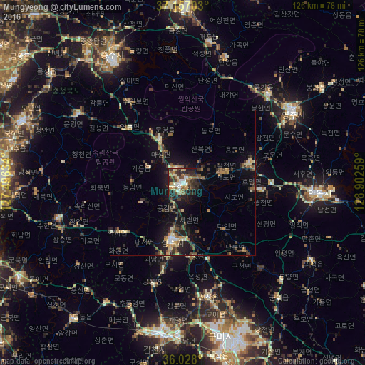
Analysis of Mungyeong night lights 2016
Square area 10x10 km:
 5.31%
5.31%90-99
13.19%80-89
4.95%70-79
7.14%60-69
5.31%50-59
11.54%40-49
5.31%30-39
15.2%20-29
19.78%10-19
10.99%0-9
1.28%Square area 50x50 km:
0.37%90-99
1.07%80-89
1.21%70-79
1.09%60-69
1.12%50-59
1.56%40-49
1.28%30-39
2.48%20-29
3.29%10-19
6.89%0-9
79.63%Clear (daylight) street map image can be seen on geolist.org.
Map coordinates:
37° 9' 25.3" North, 127° 29' 46.8" East
36° 35' 40.5" North, 128° 11' 58.1" East
36° 1' 40.8" North, 128° 54' 9.3" East
Some cities around Mungyeong sort by population:
• Gumi
54.9 km =34.1 mi,  167°
167°
• Gimcheon
53.1 km =33 mi,  187°
187°
• Andong
46.8 km =29.1 mi,  93°
93°
• Eisen
46 km =28.6 mi,  56°
56°
• Sangju
20.2 km =12.6 mi, 189°
• Koesan
43.4 km =27 mi,  303°
303°
• Kunwi
52.1 km =32.4 mi,  140°
140°
• Jenzan
40.3 km =25 mi, 167°
1840886 (p: 81,525)
Sources (retrieved 2019-11-25):
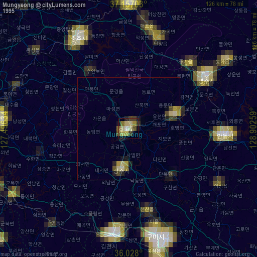
» NASA, Earths city lights 1995
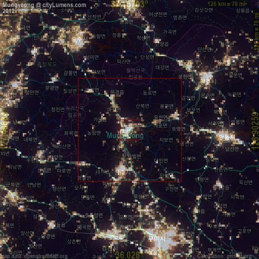
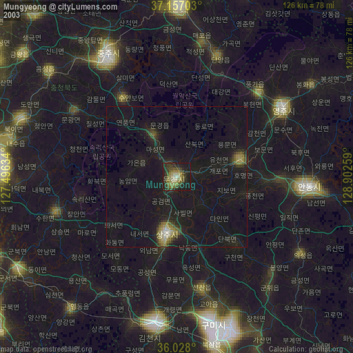
» NASA city lights 2003
» Earth at Night: Flat Maps 2012, 2016