Koesan night lights from space
Night Light of Koesan (North Chungcheong) from space (South Korea) Src. Average luminocity for 10x10km area is 11.4334% and for 50x50km: 16.6369%.
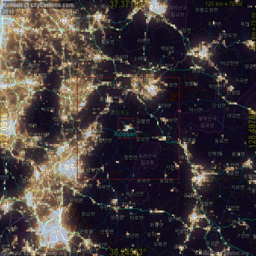
Analysis of Koesan night lights 2016
Square area 10x10 km:
 0.65%
0.65%90-99
1.3%80-89
1.95%70-79
1.46%60-69
1.46%50-59
1.95%40-49
0.97%30-39
2.44%20-29
4.22%10-19
0.81%0-9
82.79%Square area 50x50 km:
0.7%90-99
2.04%80-89
1.38%70-79
2.55%60-69
2.67%50-59
4.98%40-49
2.88%30-39
4.03%20-29
5.32%10-19
10.5%0-9
62.94%Clear (daylight) street map image can be seen on geolist.org.
Map coordinates:
37° 22' 18.1" North, 127° 5' 29.8" East
36° 48' 39" North, 127° 47' 41" East
36° 14' 45" North, 128° 29' 52.3" East
Some cities around Koesan sort by population:
• Cheongju-si
33.3 km =20.7 mi,  234°
234°
• Sejong
51 km =31.7 mi,  241°
241°
• Mungyeong
43.4 km =27 mi,  123°
123°
• Anseong
51.7 km =32.1 mi,  295°
295°
• Chinch'ŏn
31.7 km =19.7 mi,  279°
279°
• Sangju
54.8 km =34.1 mi,  143°
143°
• Yeoju
55.8 km =34.7 mi,  345°
345°
• Sintansin
51.3 km =31.9 mi,  219°
219°
1842800 (p: 44,461)
Sources (retrieved 2019-11-25):
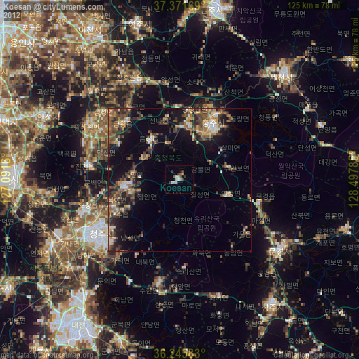
» Earth at Night: Flat Maps 2012, 2016