Boryeong night lights from space
Night Light of Boryeong (Chungcheongnam-do) from space (South Korea) Src. Average luminocity for 10x10km area is 37.4126% and for 50x50km: 7.3867%.
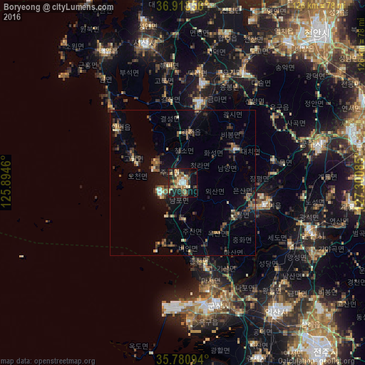
Analysis of Boryeong night lights 2016
Square area 10x10 km:
 1.92%
1.92%90-99
6.99%80-89
3.5%70-79
7.52%60-69
7.69%50-59
6.29%40-49
2.8%30-39
7.69%20-29
13.11%10-19
29.55%0-9
12.94%Square area 50x50 km:
0.21%90-99
0.81%80-89
0.59%70-79
0.59%60-69
1.06%50-59
1.62%40-49
1.13%30-39
2.09%20-29
2.43%10-19
5%0-9
84.47%Clear (daylight) street map image can be seen on geolist.org.
Map coordinates:
36° 54' 48.8" North, 125° 53' 40.6" East
36° 20' 57.5" North, 126° 35' 51.8" East
35° 46' 51.4" North, 127° 18' 3.1" East
Some cities around Boryeong sort by population:
• Gunsan
42.5 km =26.4 mi,  166°
166°
• Hongseong
28.6 km =17.8 mi,  12°
12°
• Seosan
49.8 km =30.9 mi,  344°
344°
• Gongju
48.6 km =30.2 mi,  75°
75°
• Nonsan
46.6 km =29 mi,  110°
110°
• Yesan
42.6 km =26.5 mi,  30°
30°
• Buyeo
29.1 km =18.1 mi, 106°
• Yŏnmu
51.3 km =31.9 mi,  118°
118°
1835447 (p: 62,039)
Sources (retrieved 2019-11-25):
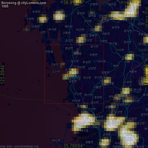
» NASA, Earths city lights 1995
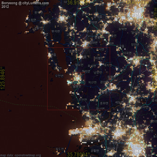
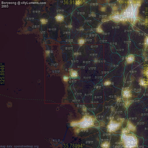
» NASA city lights 2003
» Earth at Night: Flat Maps 2012, 2016