Heunghae night lights from space
Night Light of Heunghae (Gyeongsangbuk-do) from space (South Korea) Src. Average luminocity for 10x10km area is 57.0714% and for 50x50km: 15.8202%.
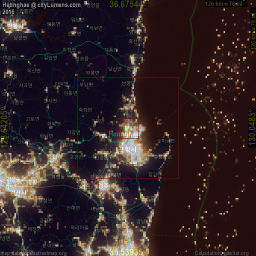
Analysis of Heunghae night lights 2016
Square area 10x10 km:
 6.78%
6.78%90-99
13%80-89
5.68%70-79
8.24%60-69
11.9%50-59
12.45%40-49
12.09%30-39
7.51%20-29
13.19%10-19
8.97%0-9
0.18%Square area 50x50 km:
1.92%90-99
2.72%80-89
1.52%70-79
1.8%60-69
2.21%50-59
2.54%40-49
2.12%30-39
3.61%20-29
4.69%10-19
10.62%0-9
66.25%Clear (daylight) street map image can be seen on geolist.org.
Map coordinates:
36° 40' 31.6" North, 128° 38' 31.4" East
36° 6' 34" North, 129° 20' 42.6" East
35° 32' 21.7" North, 130° 2' 53.9" East
Some cities around Heunghae sort by population:
• Ulsan
63.7 km =39.6 mi,  182°
182°
• Pohang
9.1 km =5.7 mi,  168°
168°
• Gyeongju
32 km =19.9 mi,  202°
202°
• Gyeongsan-si
63.2 km =39.3 mi,  239°
239°
• Eisen
40.5 km =25.2 mi,  247°
247°
• Yeonil
12.7 km =7.9 mi, 177°
• Hayang
52 km =32.3 mi, 245°
• Cheongsong gun
44.3 km =27.5 mi,  324°
324°
1832015 (p: 36,080)
Sources (retrieved 2019-11-25):
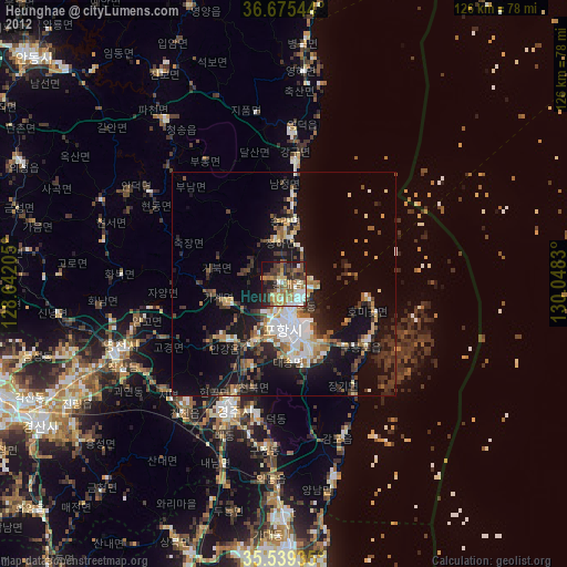
» Earth at Night: Flat Maps 2012, 2016