Cheongsong gun night lights from space
Night Light of Cheongsong gun (Gyeongsangbuk-do) from space (South Korea) Src. Average luminocity for 10x10km area is 4.7413% and for 50x50km: 1.5213%.
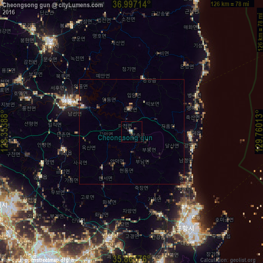
Analysis of Cheongsong gun night lights 2016
Square area 10x10 km:
 1.05%
1.05%90-99
0.35%80-89
0%70-79
0.7%60-69
0%50-59
0.52%40-49
0.87%30-39
1.4%20-29
3.5%10-19
0.17%0-9
91.43%Square area 50x50 km:
0.08%90-99
0.1%80-89
0.1%70-79
0.13%60-69
0.23%50-59
0.12%40-49
0.32%30-39
0.6%20-29
0.68%10-19
0.79%0-9
96.83%Clear (daylight) street map image can be seen on geolist.org.
Map coordinates:
36° 59' 49.7" North, 128° 21' 14" East
36° 26' 0.6" North, 129° 3' 25.2" East
35° 51' 56.7" North, 129° 45' 36.5" East
Some cities around Cheongsong gun sort by population:
• Pohang
52.8 km =32.8 mi,  148°
148°
• Andong
33.3 km =20.7 mi,  296°
296°
• Eisen
57.5 km =35.7 mi,  318°
318°
• Eisen
53 km =32.9 mi,  192°
192°
• Yeonil
55.4 km =34.4 mi, 151°
• Hayang
61.6 km =38.3 mi,  200°
200°
• Heunghae
44.3 km =27.5 mi,  144°
144°
• Kunwi
48.7 km =30.3 mi,  242°
242°
1845519 (p: 31,313)
Sources (retrieved 2019-11-25):
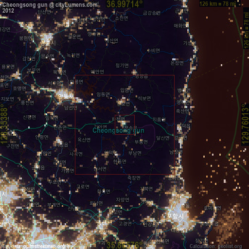
» Earth at Night: Flat Maps 2012, 2016