Naju night lights from space
Night Light of Naju (Jeollanam-do) from space (South Korea) Src. Average luminocity for 10x10km area is 54.7395% and for 50x50km: 26.9881%.
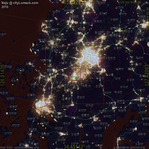
Analysis of Naju night lights 2016
Square area 10x10 km:
 3.67%
3.67%90-99
10.14%80-89
6.64%70-79
7.69%60-69
13.81%50-59
13.99%40-49
13.64%30-39
11.19%20-29
10.49%10-19
8.74%0-9
0%Square area 50x50 km:
4.71%90-99
4.45%80-89
2.5%70-79
2.71%60-69
3.82%50-59
4.97%40-49
4.4%30-39
6.15%20-29
6.7%10-19
11.75%0-9
47.83%Clear (daylight) street map image can be seen on geolist.org.
Map coordinates:
35° 36' 10.5" North, 126° 0' 51.8" East
35° 1' 45.1" North, 126° 43' 3" East
34° 27' 5.1" North, 127° 25' 14.3" East
Some cities around Naju sort by population:
• Gwangju
22.8 km =14.2 mi,  52°
52°
• Masan
15 km =9.3 mi,  43°
43°
• Mokpo
38.2 km =23.7 mi,  230°
230°
• Muan
22.2 km =13.8 mi,  258°
258°
• Koch'ang
45 km =28 mi,  357°
357°
• Hwasun
24.8 km =15.4 mi,  81°
81°
• Yeongam
25.5 km =15.8 mi,  184°
184°
• Yeonggwang
33.4 km =20.8 mi,  325°
325°
1840536 (p: 42,459)
Sources (retrieved 2019-11-25):
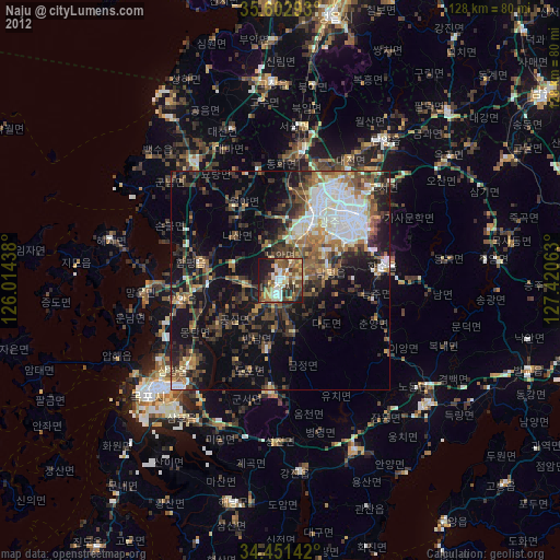
» Earth at Night: Flat Maps 2012, 2016