Suwon night lights from space
Night Light of Suwon (Gyeonggi-do) from space (South Korea) Src. Average luminocity for 10x10km area is 96.7075% and for 50x50km: 77.4879%.
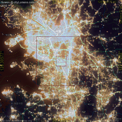
Analysis of Suwon night lights 2016
Square area 10x10 km:
 62.07%
90-99
25.34%80-89
8.33%70-79
4.25%60-69
0%50-59
0%40-49
0%30-39
0%20-29
0%10-19
0%0-9
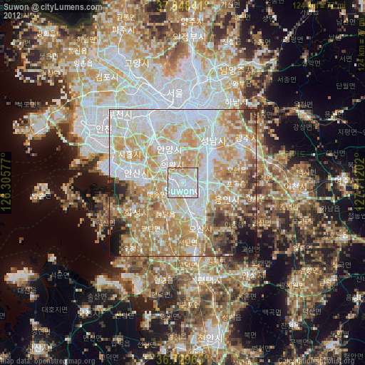
0%Square area 50x50 km:
23.05%90-99
19.77%80-89
11.63%70-79
12.92%60-69
12.39%50-59
7.35%40-49
3.95%30-39
3.45%20-29
2.73%10-19
2.43%0-9
0.32%Clear (daylight) street map image can be seen on geolist.org.
Map coordinates:
37° 50' 54.3" North, 126° 18' 20.8" East
37° 17' 28" North, 127° 0' 32" East
36° 43' 46.7" North, 127° 42' 43.3" East
Some cities around Suwon sort by population:
• Seongnam-si
20 km =12.4 mi,  34°
34°
• Ansan-si
16.9 km =10.5 mi,  282°
282°
• Anyang-si
13.4 km =8.3 mi,  327°
327°
• Hwaseong-si
19.4 km =12.1 mi,  241°
241°
• Kwangmyŏng
24.2 km =15 mi, 328°
• Osan
16.4 km =10.2 mi,  160°
160°
• Gwangju
25.6 km =15.9 mi,  58°
58°
• Yongsan-dong
28.3 km =17.6 mi,  355°
355°
1835553 (p: 1,242,724)
Sources (retrieved 2019-11-25):
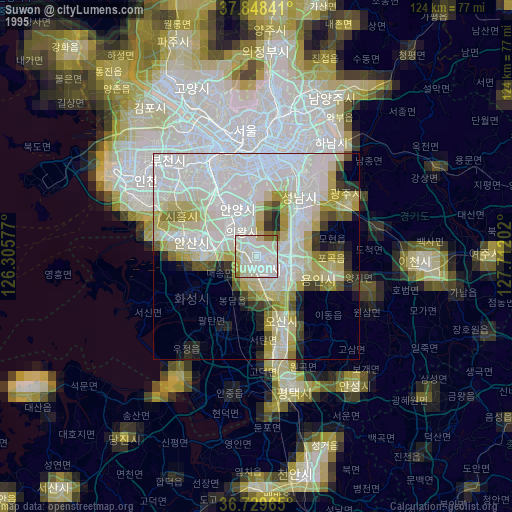
» NASA, Earths city lights 1995
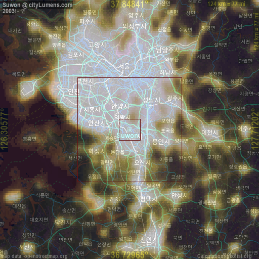
» NASA city lights 2003
» Earth at Night: Flat Maps 2012, 2016