Sinanju night lights from space
Night Light of Sinanju (South Pyongan) from space (North Korea) Src. Average luminocity for 10x10km area is 0.0065% and for 50x50km: 0.2934%.
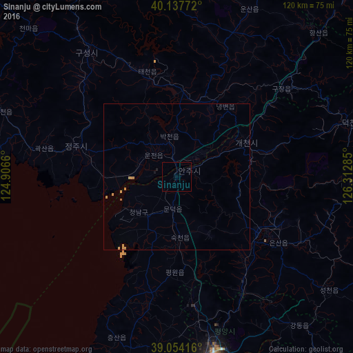
Analysis of Sinanju night lights 2016
Square area 10x10 km:
 0%
0%90-99
0%80-89
0%70-79
0%60-69
0%50-59
0%40-49
0%30-39
0%20-29
0%10-19
0%0-9
100%Square area 50x50 km:
0%90-99
0%80-89
0.04%70-79
0.25%60-69
0.03%50-59
0%40-49
0%30-39
0%20-29
0.02%10-19
0.03%0-9
99.63%Clear (daylight) street map image can be seen on geolist.org.
Map coordinates:
40° 8' 15.8" North, 124° 54' 23.8" East
39° 35' 53" North, 125° 36' 35" East
39° 3' 15" North, 126° 18' 46.3" East
Some cities around Sinanju sort by population:
• Sunch’ŏn
33.3 km =20.7 mi,  123°
123°
• P’yŏngsŏng
45.1 km =28 mi,  150°
150°
• Anju
5.2 km =3.2 mi,  65°
65°
• Sunan
45 km =28 mi,  171°
171°
• Chŏngju
35.8 km =22.2 mi,  287°
287°
• Sil-li
16.4 km =10.2 mi,  225°
225°
• Panghyŏn-dong
45 km =28 mi,  315°
315°
• Yŏngbyŏn
29.1 km =18.1 mi,  34°
34°
1870742 (p: 15,693)
Sources (retrieved 2019-11-25):
» Earth at Night: Flat Maps 2012, 2016