Rajin night lights from space
Night Light of Rajin (Rason) from space (North Korea) Src. Average luminocity for 10x10km area is 2.7485% and for 50x50km: 0.1308%.
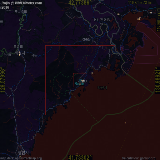
Analysis of Rajin night lights 2016
Square area 10x10 km:
 0%
0%90-99
0.61%80-89
0.61%70-79
0%60-69
0%50-59
1.21%40-49
0.45%30-39
0.76%20-29
1.21%10-19
0%0-9
95.15%Square area 50x50 km:
0%90-99
0.03%80-89
0.03%70-79
0%60-69
0%50-59
0.05%40-49
0.02%30-39
0.06%20-29
0.05%10-19
0.03%0-9
99.75%Clear (daylight) street map image can be seen on geolist.org.
Map coordinates:
42° 46' 25.9" North, 129° 34' 47.9" East
42° 15' 20.1" North, 130° 16' 59.1" East
41° 43' 58.9" North, 130° 59' 10.4" East
Some cities around Rajin sort by population:
• Chongjin
66.1 km =41.1 mi,  219°
219°
• Hoeryŏng
48.7 km =30.3 mi,  295°
295°
• Aoji
31.3 km =19.4 mi,  17°
17°
• Sŏnbong
13.4 km =8.3 mi,  37°
37°
• Kyŏngwŏn
62.6 km =38.9 mi,  351°
351°
• Puryŏng
51.9 km =32.2 mi,  245°
245°
• Komusan Il-tong
50.7 km =31.5 mi, 251°
• Ungsang-nodongjagu
18.6 km =11.6 mi,  52°
52°
2042645 (p: 66,224)
Sources (retrieved 2019-11-25):
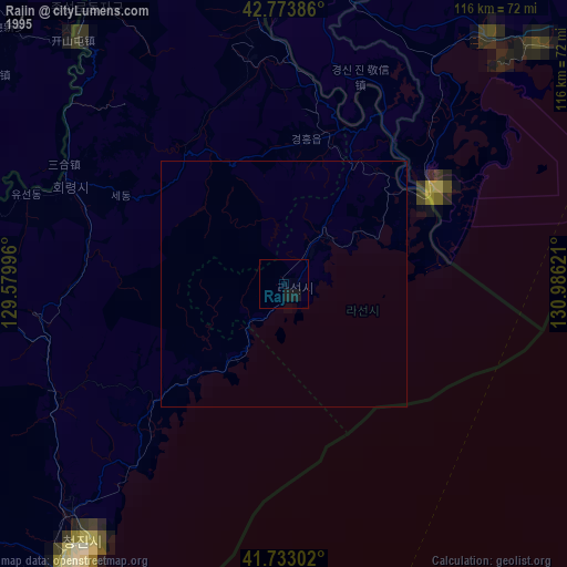
» NASA, Earths city lights 1995
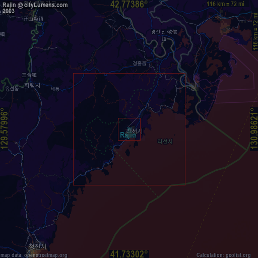
» NASA city lights 2003
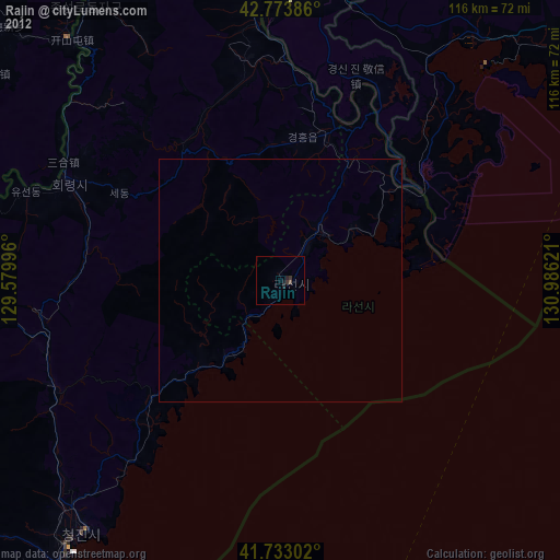
» Earth at Night: Flat Maps 2012, 2016