Chongjin night lights from space
Night Light of Chongjin (Hamgyŏng-bukto) from space (North Korea) Src. Average luminocity for 10x10km area is 1.0844% and for 50x50km: 0.0665%.
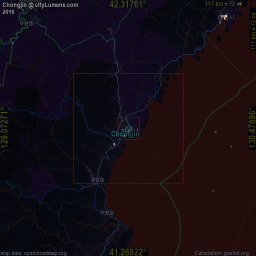
Analysis of Chongjin night lights 2016
Square area 10x10 km:
 0%
0%90-99
0%80-89
0%70-79
0%60-69
0%50-59
0%40-49
0.65%30-39
0.16%20-29
2.76%10-19
0.32%0-9
96.1%Square area 50x50 km:
0%90-99
0%80-89
0%70-79
0.03%60-69
0%50-59
0%40-49
0.03%30-39
0.01%20-29
0.11%10-19
0.03%0-9
99.81%Clear (daylight) street map image can be seen on geolist.org.
Map coordinates:
42° 19' 3.4" North, 129° 4' 21.8" East
41° 47' 44" North, 129° 46' 33" East
41° 16' 9.2" North, 130° 28' 44.3" East
Some cities around Chongjin sort by population:
• Rajin
66.1 km =41.1 mi,  39°
39°
• Kyŏngsŏng
27.1 km =16.8 mi,  211°
211°
• Nanam
11.9 km =7.4 mi,  219°
219°
• Musan-ŭp
67 km =41.6 mi,  315°
315°
• Puryŏng
29.9 km =18.6 mi,  349°
349°
• Komusan Il-tong
35.4 km =22 mi, 349°
• Hoemul-li
41.2 km =25.6 mi,  192°
192°
• Sŭngam-nodongjagu
16.6 km =10.3 mi, 212°
2044757 (p: 327,000)
Sources (retrieved 2019-11-25):
» NASA, Earths city lights 1995
» NASA city lights 2003
» Earth at Night: Flat Maps 2012, 2016