Hoeryŏng night lights from space
Night Light of Hoeryŏng (Hamgyŏng-bukto) from space (North Korea) Src. Average luminocity for 10x10km area is 0.9937% and for 50x50km: 0.0401%.
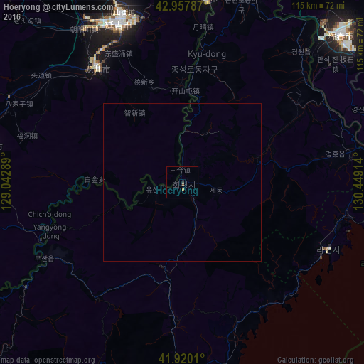
Analysis of Hoeryŏng night lights 2016
Square area 10x10 km:
 0%
0%90-99
0%80-89
0%70-79
0.63%60-69
0%50-59
0.63%40-49
0%30-39
0%20-29
0.63%10-19
0%0-9
98.1%Square area 50x50 km:
0%90-99
0%80-89
0%70-79
0.03%60-69
0%50-59
0.03%40-49
0%30-39
0%20-29
0.03%10-19
0%0-9
99.92%Clear (daylight) street map image can be seen on geolist.org.
Map coordinates:
42° 57' 28.3" North, 129° 2' 34.4" East
42° 26' 28.1" North, 129° 44' 45.6" East
41° 55' 12.4" North, 130° 26' 56.9" East
Some cities around Hoeryŏng sort by population:
• Longjing, CN
45.2 km =28.1 mi,  324°
324°
• Rajin
48.7 km =30.3 mi,  115°
115°
• Aoji
54.2 km =33.7 mi,  80°
80°
• Sŏnbong
53.3 km =33.1 mi,  100°
100°
• Musan-ŭp
50.3 km =31.3 mi,  241°
241°
• Kyŏngwŏn
53.6 km =33.3 mi,  39°
39°
• Puryŏng
42.4 km =26.3 mi,  183°
183°
• Komusan Il-tong
37.1 km =23.1 mi,  185°
185°
2044091 (p: 43,831)
Sources (retrieved 2019-11-25):
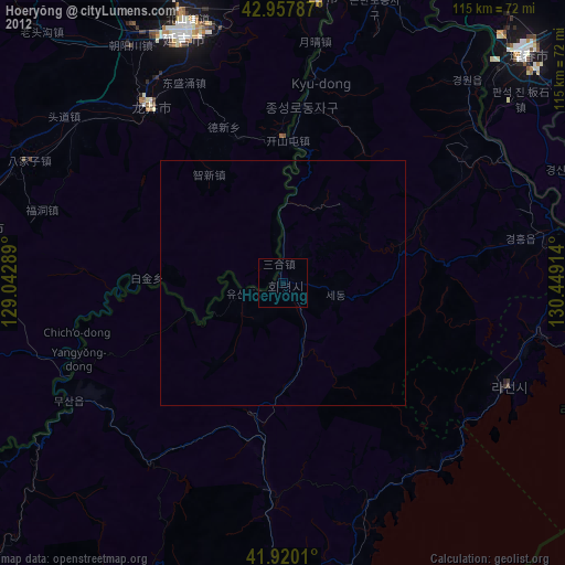
» Earth at Night: Flat Maps 2012, 2016