Sŏnbong night lights from space
Night Light of Sŏnbong (Rason) from space (North Korea) Src. Average luminocity for 10x10km area is 0.0286% and for 50x50km: 0.1363%.
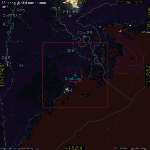
Analysis of Sŏnbong night lights 2016
Square area 10x10 km:
 0%
0%90-99
0%80-89
0%70-79
0%60-69
0%50-59
0%40-49
0%30-39
0%20-29
0%10-19
0%0-9
100%Square area 50x50 km:
0%90-99
0.03%80-89
0.03%70-79
0%60-69
0%50-59
0.05%40-49
0.02%30-39
0.06%20-29
0.05%10-19
0.05%0-9
99.72%Clear (daylight) street map image can be seen on geolist.org.
Map coordinates:
42° 52' 7.2" North, 129° 40' 47.8" East
42° 21' 4.2" North, 130° 22' 59.1" East
41° 49' 45.8" North, 131° 5' 10.3" East
Some cities around Sŏnbong sort by population:
• Hunchun, CN
57.4 km =35.7 mi,  357°
357°
• Rajin
13.4 km =8.3 mi,  217°
217°
• Hoeryŏng
53.3 km =33.1 mi,  280°
280°
• Aoji
19.3 km =12 mi,  3°
3°
• Kyŏngwŏn
54.2 km =33.7 mi,  340°
340°
• Puryŏng
64 km =39.8 mi,  239°
239°
• Komusan Il-tong
62.3 km =38.7 mi, 244°
• Ungsang-nodongjagu
6.5 km =4 mi,  83°
83°
2040674 (p: 27,331)
Sources (retrieved 2019-11-25):
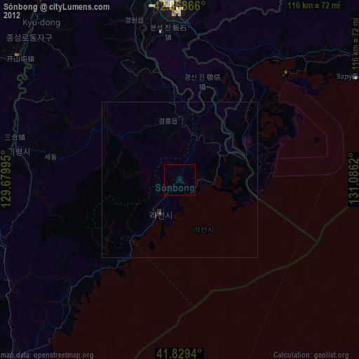
» Earth at Night: Flat Maps 2012, 2016