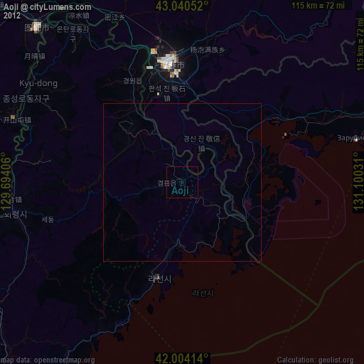
Aoji night lights from space
Night Light of Aoji (Hamgyŏng-bukto) from space (North Korea) Src. Average luminocity for 10x10km area is 0% and for 50x50km: 0.0394%.
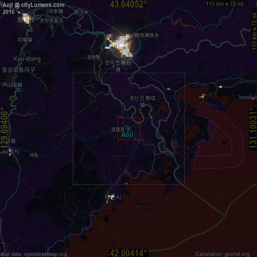
Analysis of Aoji night lights 2016
Square area 10x10 km:
 0%
0%90-99
0%80-89
0%70-79
0%60-69
0%50-59
0%40-49
0%30-39
0%20-29
0%10-19
0%0-9
100%Square area 50x50 km:
0%90-99
0%80-89
0%70-79
0%60-69
0%50-59
0%40-49
0.04%30-39
0.04%20-29
0%10-19
0.05%0-9
99.87%Clear (daylight) street map image can be seen on geolist.org.
Map coordinates:
43° 2' 25.9" North, 129° 41' 38.6" East
42° 31' 28.1" North, 130° 23' 49.8" East
42° 0' 14.9" North, 131° 6' 1.1" East
Some cities around Aoji sort by population:
• Hunchun, CN
38.3 km =23.8 mi,  355°
355°
• Rajin
31.3 km =19.4 mi,  197°
197°
• Hoeryŏng
54.2 km =33.7 mi,  260°
260°
• Sŏnbong
19.3 km =12 mi,  183°
183°
• Namyang
64.7 km =40.2 mi,  317°
317°
• Onsŏng
58.3 km =36.2 mi,  325°
325°
• Kyŏngwŏn
37.2 km =23.1 mi, 329°
• Ungsang-nodongjagu
19.3 km =12 mi,  163°
163°
2045311 (p: 34,248)
Sources (retrieved 2019-11-25):
» Earth at Night: Flat Maps 2012, 2016