Onsŏng night lights from space
Night Light of Onsŏng (Hamgyŏng-bukto) from space (North Korea) Src. Average luminocity for 10x10km area is 0% and for 50x50km: 0.9365%.
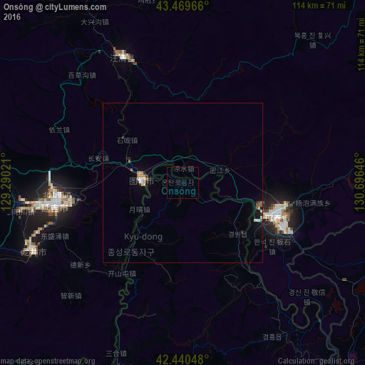
Analysis of Onsŏng night lights 2016
Square area 10x10 km:
 0%
0%90-99
0%80-89
0%70-79
0%60-69
0%50-59
0%40-49
0%30-39
0%20-29
0%10-19
0%0-9
100%Square area 50x50 km:
0.05%90-99
0.2%80-89
0.11%70-79
0.09%60-69
0.13%50-59
0.12%40-49
0.08%30-39
0.09%20-29
0.18%10-19
0.4%0-9
98.54%Clear (daylight) street map image can be seen on geolist.org.
Map coordinates:
43° 28' 10.8" North, 129° 17' 24.8" East
42° 57' 26" North, 129° 59' 36" East
42° 26' 25.7" North, 130° 41' 47.3" East
Some cities around Onsŏng sort by population:
• Yanji, CN
39.9 km =24.8 mi,  262°
262°
• Longjing, CN
50.8 km =31.6 mi,  246°
246°
• Wangqing, CN
44.6 km =27.7 mi,  335°
335°
• Tumen, CN
12.3 km =7.6 mi,  274°
274°
• Hunchun, CN
31.3 km =19.4 mi,  108°
108°
• Aoji
58.3 km =36.2 mi,  145°
145°
• Namyang
11 km =6.8 mi, 266°
• Kyŏngwŏn
21.4 km =13.3 mi,  139°
139°
2042267 (p: 19,806)
Sources (retrieved 2019-11-25):
» Earth at Night: Flat Maps 2012, 2016