Uychi night lights from space
Night Light of Uychi (Namangan) from space (Uzbekistan) Src. Average luminocity for 10x10km area is 6.4253% and for 50x50km: 12.9099%.
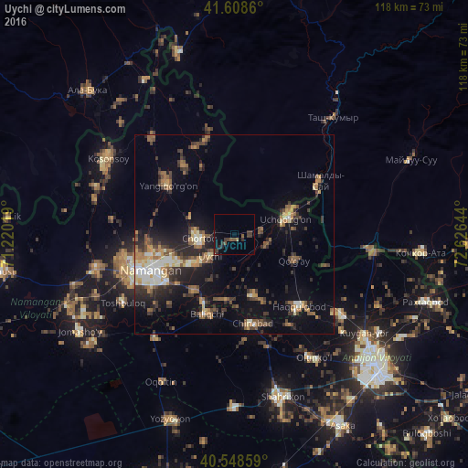
Analysis of Uychi night lights 2016
Square area 10x10 km:
 0%
0%90-99
0%80-89
0%70-79
0%60-69
0.65%50-59
1.46%40-49
1.79%30-39
5.84%20-29
1.62%10-19
2.27%0-9
86.36%Square area 50x50 km:
0.95%90-99
1.62%80-89
1.31%70-79
1.56%60-69
1.81%50-59
2.51%40-49
2.03%30-39
3%20-29
4.13%10-19
7.59%0-9
73.49%Clear (daylight) street map image can be seen on geolist.org.
Map coordinates:
41° 36' 31" North, 71° 13' 12.7" East
41° 4' 50.6" North, 71° 55' 23.9" East
40° 32' 54.9" North, 72° 37' 35.2" East
Some cities around Uychi sort by population:
• Namangan
22.9 km =14.2 mi,  246°
246°
• Chortoq
8.4 km =5.2 mi,  261°
261°
• Kosonsoy
36.6 km =22.7 mi,  300°
300°
• Uchqŭrghon Shahri
13.6 km =8.5 mi,  74°
74°
• Toshbuloq
34.3 km =21.3 mi,  237°
237°
• Yangiqo‘rg‘on
21 km =13 mi,  307°
307°
• To‘rqao‘rg‘on
35.7 km =22.2 mi, 255°
• Haqqulobod
24.4 km =15.2 mi,  138°
138°
1512449 (p: 29,683)
Sources (retrieved 2019-11-25):
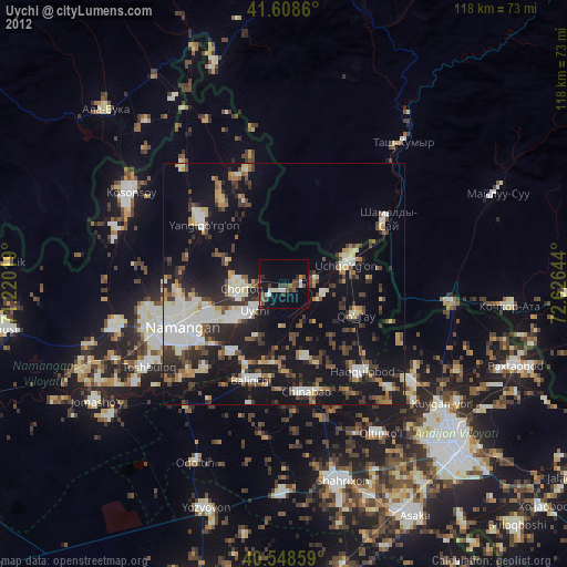
» Earth at Night: Flat Maps 2012, 2016