Haqqulobod night lights from space
Night Light of Haqqulobod (Namangan) from space (Uzbekistan) Src. Average luminocity for 10x10km area is 20.4813% and for 50x50km: 15.1992%.
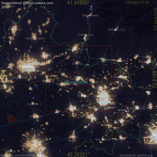
Analysis of Haqqulobod night lights 2016
Square area 10x10 km:
 0.85%
0.85%90-99
3.06%80-89
1.36%70-79
3.57%60-69
3.06%50-59
4.76%40-49
2.72%30-39
3.06%20-29
1.36%10-19
16.33%0-9
59.86%Square area 50x50 km:
1.62%90-99
2.24%80-89
1.6%70-79
1.41%60-69
1.51%50-59
2.47%40-49
2.09%30-39
3.61%20-29
5.41%10-19
10.6%0-9
67.44%Clear (daylight) street map image can be seen on geolist.org.
Map coordinates:
41° 26' 45.1" North, 71° 24' 48.8" East
40° 55' 0" North, 72° 7' 0" East
40° 22' 59.6" North, 72° 49' 11.3" East
Some cities around Haqqulobod sort by population:
• Namangan
38.4 km =23.9 mi,  283°
283°
• Andijon
24.3 km =15.1 mi,  128°
128°
• Asaka
32.3 km =20.1 mi,  161°
161°
• Chortoq
29.9 km =18.6 mi,  304°
304°
• Uchqŭrghon Shahri
22.1 km =13.7 mi,  351°
351°
• Quva
44 km =27.3 mi,  184°
184°
• Uychi
24.4 km =15.2 mi,  318°
318°
• Kochkor-Ata, KG
33.6 km =20.9 mi,  66°
66°
1513655 (p: 26,257)
Sources (retrieved 2019-11-25):
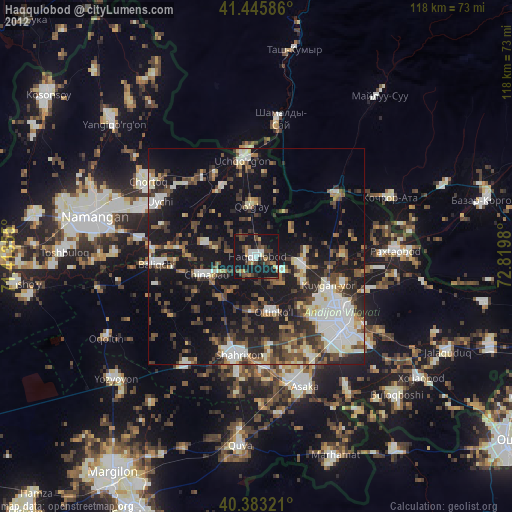
» Earth at Night: Flat Maps 2012, 2016