Busia night lights from space
Night Light of Busia from space (Kenya) Src. Average luminocity for 10x10km area is 6.2944% and for 50x50km: 0.3892%.
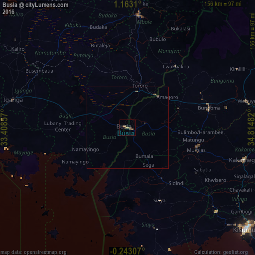
Analysis of Busia night lights 2016
Square area 10x10 km:
 0%
0%90-99
0%80-89
0.87%70-79
0%60-69
4.11%50-59
1.95%40-49
0%30-39
0.87%20-29
2.6%10-19
0.87%0-9
88.74%Square area 50x50 km:
0%90-99
0%80-89
0.07%70-79
0%60-69
0.2%50-59
0.11%40-49
0.07%30-39
0.1%20-29
0.1%10-19
0.03%0-9
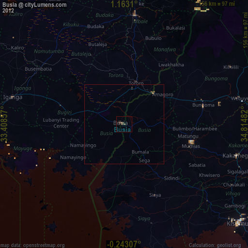
99.31%Clear (daylight) street map image can be seen on geolist.org.
Map coordinates:
1° 9' 47.2" North, 33° 24' 30.9" East
0° 27' 36.2" North, 34° 6' 42.1" East
0° 14' 35.1" South, 34° 48' 53.4" East
Some cities around Busia sort by population:
• Mumias
44.1 km =27.4 mi,  108°
108°
• Lugulu
22.6 km =14 mi, 109°
• Tororo, UG
27 km =16.8 mi,  16°
16°
• Bugiri, UG
43 km =26.7 mi,  286°
286°
• Luanda
16.9 km =10.5 mi,  195°
195°
• Bondo
31.3 km =19.4 mi,  143°
143°
• Malaba
27.1 km =16.8 mi,  44°
44°
• Port Victoria
43.1 km =26.8 mi, 201°
199989 (p: 51,981)
Sources (retrieved 2019-11-25):
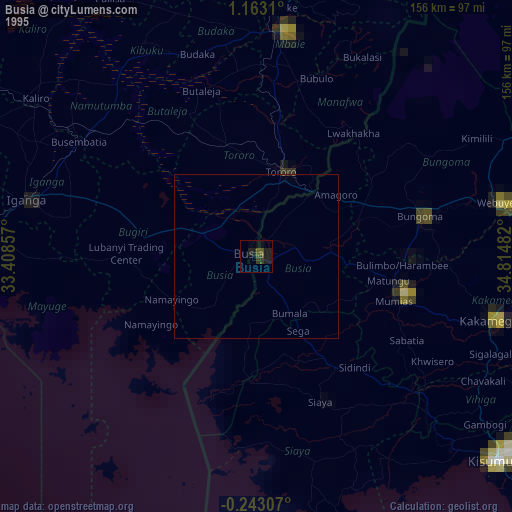
» NASA, Earths city lights 1995
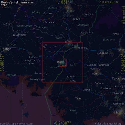
» NASA city lights 2003
» Earth at Night: Flat Maps 2012, 2016