Port Victoria night lights from space
Night Light of Port Victoria (Busia) from space (Kenya) Src. Average luminocity for 10x10km area is 0% and for 50x50km: 0%.
Analysis of Port Victoria night lights 2016
Square area 10x10 km:
100  0%
0%
90-99 0%
80-89 0%
70-79 0%
60-69 0%
50-59 0%
40-49 0%
30-39 0%
20-29 0%
10-19 0%
0-9 100%
0%90-99
0%80-89
0%70-79
0%60-69
0%50-59
0%40-49
0%30-39
0%20-29
0%10-19
0%0-9
100%Square area 50x50 km:
100 0%
90-99 0%
80-89 0%
70-79 0%
60-69 0%
50-59 0%
40-49 0%
30-39 0%
20-29 0%
10-19 0%
0-9 100%
0%90-99
0%80-89
0%70-79
0%60-69
0%50-59
0%40-49
0%30-39
0%20-29
0%10-19
0%0-9
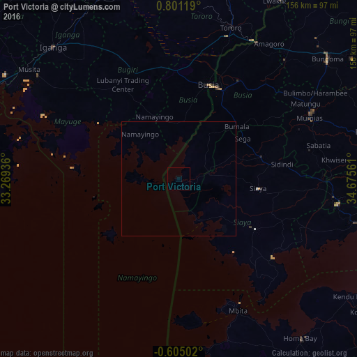
100%Clear (daylight) street map image can be seen on geolist.org.
Map coordinates:
0° 48' 4.3" North, 33° 16' 9.7" East
0° 5' 53.1" North, 33° 58' 20.9" East
0° 36' 18.1" South, 34° 40' 32.2" East
Some cities around Port Victoria sort by population:
• Busia
43.1 km =26.8 mi,  21°
21°
• Busia, UG
43 km =26.7 mi, 18°
• Lugulu
49.4 km =30.7 mi,  48°
48°
• Bugiri, UG
58.5 km =36.4 mi,  334°
334°
• Siaya
35.3 km =21.9 mi,  96°
96°
• Butere
58.8 km =36.5 mi,  78°
78°
• Luanda
26.4 km =16.4 mi, 24°
• Bondo
37.5 km =23.3 mi,  66°
66°
200061 (p: 6,793)
Sources (retrieved 2019-11-25):
» Earth at Night: Flat Maps 2012, 2016