Bugiri night lights from space
Night Light of Bugiri (Eastern Region) from space (Uganda) Src. Average luminocity for 10x10km area is 0% and for 50x50km: 0%.
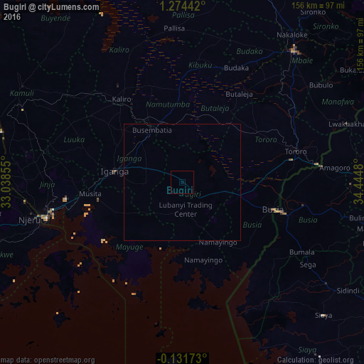
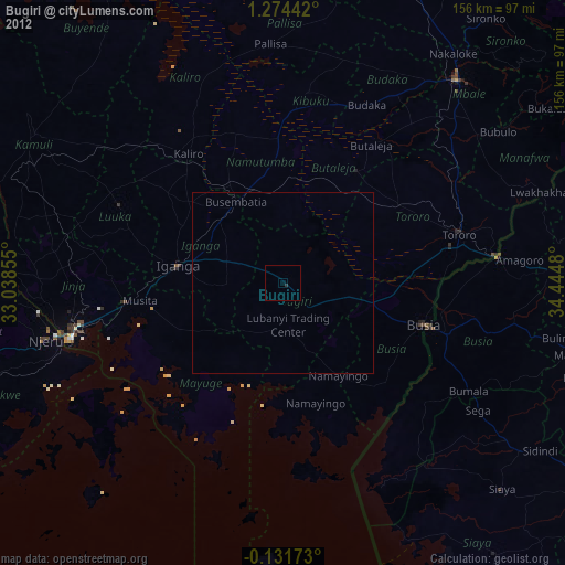
Analysis of Bugiri night lights 2016
Square area 10x10 km:
 0%
0%90-99
0%80-89
0%70-79
0%60-69
0%50-59
0%40-49
0%30-39
0%20-29
0%10-19
0%0-9
100%Square area 50x50 km:
0%90-99
0%80-89
0%70-79
0%60-69
0%50-59
0%40-49
0%30-39
0%20-29
0%10-19
0%0-9
100%Clear (daylight) street map image can be seen on geolist.org.
Map coordinates:
1° 16' 27.9" North, 33° 2' 18.8" East
0° 34' 17" North, 33° 44' 30" East
0° 7' 54.2" South, 34° 26' 41.3" East
Some cities around Bugiri sort by population:
• Busia, KE
43 km =26.7 mi,  106°
106°
• Iganga
30.6 km =19 mi,  277°
277°
• Busia
40.7 km =25.3 mi, 106°
• Tororo
50.7 km =31.5 mi,  74°
74°
• Busembatia
26.4 km =16.4 mi,  330°
330°
• Bugembe
56.6 km =35.2 mi,  259°
259°
• Mayuge
31.6 km =19.6 mi,  246°
246°
• Luanda, KE
46.5 km =28.9 mi,  128°
128°
234565 (p: 22,500)
Sources (retrieved 2019-11-25):
» Earth at Night: Flat Maps 2012, 2016