Mumias night lights from space
Night Light of Mumias (Kakamega) from space (Kenya) Src. Average luminocity for 10x10km area is 3.7576% and for 50x50km: 0.2299%.
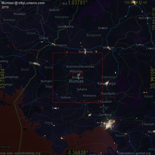
Analysis of Mumias night lights 2016
Square area 10x10 km:
100  0%
0%
90-99 0%
80-89 0%
70-79 0%
60-69 0%
50-59 2.16%
40-49 2.16%
30-39 2.6%
20-29 0.87%
10-19 0.43%
0-9 91.77%
0%90-99
0%80-89
0%70-79
0%60-69
0%50-59
2.16%40-49
2.16%30-39
2.6%20-29
0.87%10-19
0.43%0-9
91.77%Square area 50x50 km:
100 0%
90-99 0%
80-89 0.02%
70-79 0%
60-69 0%
50-59 0.12%
40-49 0.09%
30-39 0.12%
20-29 0.1%
10-19 0.03%
0-9 99.52%
0%90-99
0%80-89
0.02%70-79
0%60-69
0%50-59
0.12%40-49
0.09%30-39
0.12%20-29
0.1%10-19
0.03%0-9
99.52%Clear (daylight) street map image can be seen on geolist.org.
Map coordinates:
1° 2' 16.1" North, 33° 47' 5.4" East
0° 20' 5.1" North, 34° 29' 16.7" East
0° 22' 6.2" South, 35° 11' 27.9" East
Some cities around Mumias sort by population:
• Kakamega
29.9 km =18.6 mi,  100°
100°
• Bungoma
26.7 km =16.6 mi,  17°
17°
• Lugulu
21.5 km =13.4 mi,  287°
287°
• Siaya
37.7 km =23.4 mi,  216°
216°
• Butere
14.2 km =8.8 mi,  179°
179°
• Bondo
25.5 km =15.8 mi,  244°
244°
• Malaba
40.5 km =25.2 mi,  325°
325°
• Mbale
38.2 km =23.7 mi,  137°
137°
185702 (p: 45,485)
Sources (retrieved 2019-11-25):
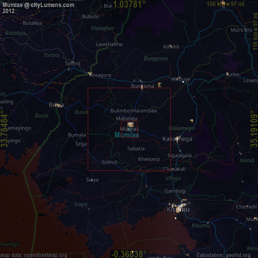
» Earth at Night: Flat Maps 2012, 2016