Yoshikawa night lights from space
Night Light of Yoshikawa (Saitama) from space (Japan) Src. Average luminocity for 10x10km area is 81.4286% and for 50x50km: 75.9318%.
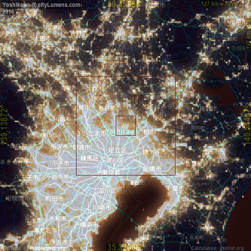
Analysis of Yoshikawa night lights 2016
Square area 10x10 km:
 21.43%
90-99
21.98%80-89
8.24%70-79
16.12%60-69
20.7%50-59
11.54%40-49
0%30-39
0%20-29
0%10-19
0%0-9
0%Square area 50x50 km:
32.89%90-99
16.66%80-89
7.11%70-79
7.19%60-69
9.12%50-59
6%40-49
4.85%30-39
6.07%20-29
6.54%10-19
3.57%0-9
0%Clear (daylight) street map image can be seen on geolist.org.
Map coordinates:
36° 27' 35.6" North, 139° 8' 19.4" East
35° 53' 32.4" North, 139° 50' 30.6" East
35° 19' 14.4" North, 140° 32' 41.9" East
Some cities around Yoshikawa sort by population:
• Kashiwa
12.7 km =7.9 mi,  105°
105°
• Koshigaya
4.8 km =3 mi,  267°
267°
• Sōka
7.3 km =4.5 mi,  211°
211°
• Kasukabe
13.1 km =8.1 mi,  320°
320°
• Nagareyama
6.8 km =4.2 mi,  126°
126°
• Noda
6.7 km =4.2 mi,  20°
20°
• Yashio
7.8 km =4.8 mi,  181°
181°
• Hatogaya-honchō
11.1 km =6.9 mi,  233°
233°
1848188 (p: 60,510)
Sources (retrieved 2019-11-25):
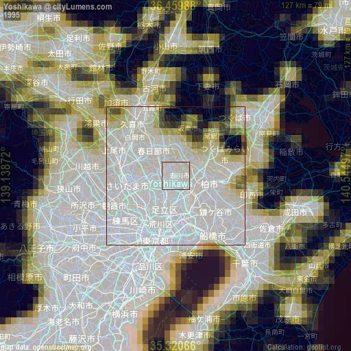
» NASA, Earths city lights 1995
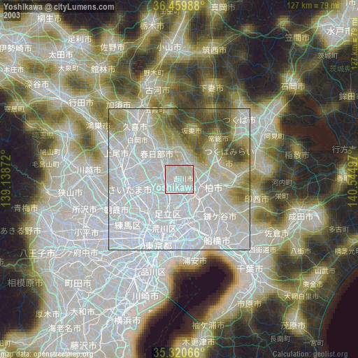
» NASA city lights 2003
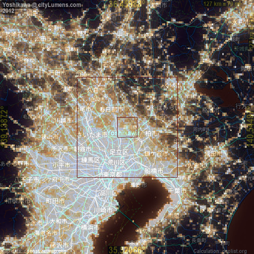
» Earth at Night: Flat Maps 2012, 2016