Nagareyama night lights from space
Night Light of Nagareyama (Chiba) from space (Japan) Src. Average luminocity for 10x10km area is 91.3409% and for 50x50km: 76.079%.
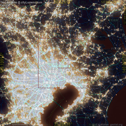
Analysis of Nagareyama night lights 2016
Square area 10x10 km:
 31.12%
90-99
36.89%80-89
14.51%70-79
9.79%60-69
7.17%50-59
0.52%40-49
0%30-39
0%20-29
0%10-19
0%0-9
0%Square area 50x50 km:
32.97%90-99
16.98%80-89
6.81%70-79
6.93%60-69
8.46%50-59
6.32%40-49
5.48%30-39
6.5%20-29
7.15%10-19
2.39%0-9
0%Clear (daylight) street map image can be seen on geolist.org.
Map coordinates:
36° 25' 26.8" North, 139° 11' 58.3" East
35° 51' 22.7" North, 139° 54' 9.6" East
35° 17' 3.8" North, 140° 36' 20.8" East
Some cities around Nagareyama sort by population:
• Matsudo
8.5 km =5.3 mi,  180°
180°
• Kashiwa
6.8 km =4.2 mi,  84°
84°
• Koshigaya
10.9 km =6.8 mi,  290°
290°
• Sōka
9.6 km =6 mi,  256°
256°
• Abiko
10.3 km =6.4 mi, 83°
• Noda
10.8 km =6.7 mi,  343°
343°
• Yashio
6.9 km =4.3 mi,  236°
236°
• Yoshikawa
6.8 km =4.2 mi,  306°
306°
1856184 (p: 156,000)
Sources (retrieved 2019-11-25):
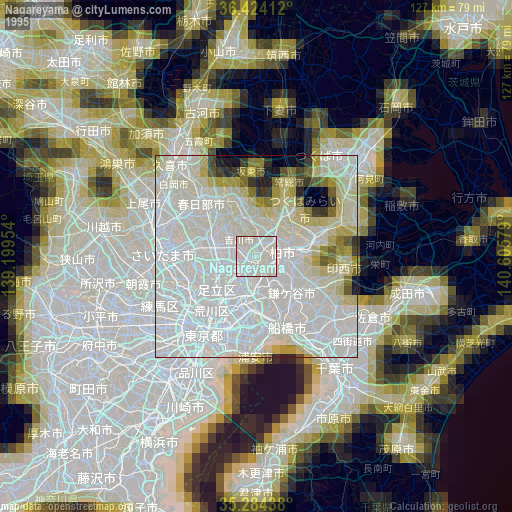
» NASA, Earths city lights 1995
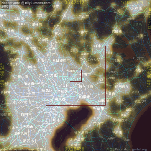
» NASA city lights 2003
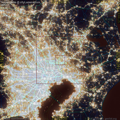
» Earth at Night: Flat Maps 2012, 2016