Hatogaya-honchō night lights from space
Night Light of Hatogaya-honchō (Saitama) from space (Japan) Src. Average luminocity for 10x10km area is 98.5664% and for 50x50km: 83.55%.
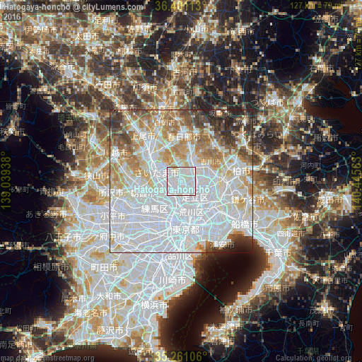
Analysis of Hatogaya-honchō night lights 2016
Square area 10x10 km:
 61.71%
90-99
34.27%80-89
2.97%70-79
1.05%60-69
0%50-59
0%40-49
0%30-39
0%20-29
0%10-19
0%0-9
0%Square area 50x50 km:
42.74%90-99
18.75%80-89
7.3%70-79
6.48%60-69
7.9%50-59
4.65%40-49
3.7%30-39
3.8%20-29
3.43%10-19
1.17%0-9
0.08%Clear (daylight) street map image can be seen on geolist.org.
Map coordinates:
36° 24' 4.1" North, 139° 2' 21.8" East
35° 49' 59.3" North, 139° 44' 33" East
35° 15' 39.8" North, 140° 26' 44.3" East
Some cities around Hatogaya-honchō sort by population:
• Saitama
11.4 km =7.1 mi,  317°
317°
• Yono
11.3 km =7 mi,  299°
299°
• Kawaguchi
4.2 km =2.6 mi,  222°
222°
• Koshigaya
7.6 km =4.7 mi,  33°
33°
• Sōka
5.2 km =3.2 mi,  85°
85°
• Shimotoda
5.5 km =3.4 mi,  248°
248°
• Yashio
8.8 km =5.5 mi,  97°
97°
• Yoshikawa
11.1 km =6.9 mi,  53°
53°
1863023 (p: 53,062)
Sources (retrieved 2019-11-25):
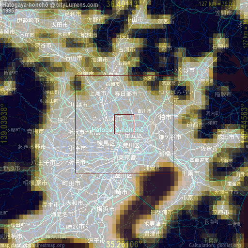
» NASA, Earths city lights 1995
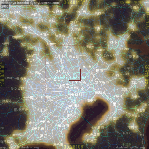
» NASA city lights 2003
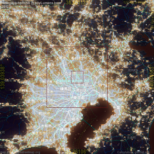
» Earth at Night: Flat Maps 2012, 2016