Sōka night lights from space
Night Light of Sōka (Saitama) from space (Japan) Src. Average luminocity for 10x10km area is 98.6696% and for 50x50km: 81.9289%.
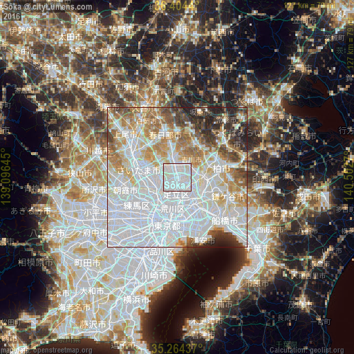
Analysis of Sōka night lights 2016
Square area 10x10 km:
 64.34%
90-99
31.47%80-89
4.2%70-79
0%60-69
0%50-59
0%40-49
0%30-39
0%20-29
0%10-19
0%0-9
0%Square area 50x50 km:
41.2%90-99
18.13%80-89
6.82%70-79
6.5%60-69
8.2%50-59
4.96%40-49
3.83%30-39
4.46%20-29
4.42%10-19
1.47%0-9
0%Clear (daylight) street map image can be seen on geolist.org.
Map coordinates:
36° 24' 15.8" North, 139° 5' 47.2" East
35° 50' 11.1" North, 139° 47' 58.5" East
35° 15' 51.7" North, 140° 30' 9.7" East
Some cities around Sōka sort by population:
• Matsudo
11.1 km =6.9 mi,  124°
124°
• Kawaguchi
8.7 km =5.4 mi,  246°
246°
• Koshigaya
6.1 km =3.8 mi,  351°
351°
• Nagareyama
9.6 km =6 mi,  76°
76°
• Shimotoda
10.6 km =6.6 mi,  256°
256°
• Yashio
3.9 km =2.4 mi,  113°
113°
• Yoshikawa
7.3 km =4.5 mi,  31°
31°
• Hatogaya-honchō
5.2 km =3.2 mi,  265°
265°
1851604 (p: 231,445)
Sources (retrieved 2019-11-25):
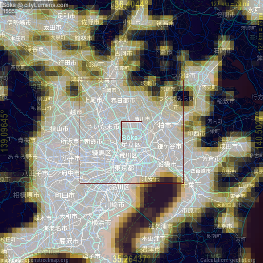
» NASA, Earths city lights 1995
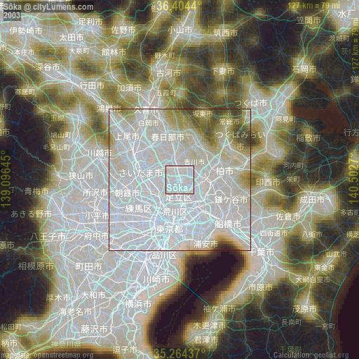
» NASA city lights 2003
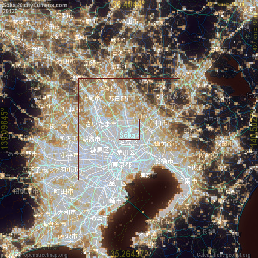
» Earth at Night: Flat Maps 2012, 2016