Tsubame night lights from space
Night Light of Tsubame (Niigata) from space (Japan) Src. Average luminocity for 10x10km area is 23.3044% and for 50x50km: 7.4098%.
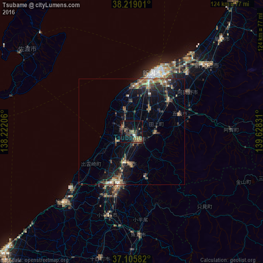
Analysis of Tsubame night lights 2016
Square area 10x10 km:
 0.51%
0.51%90-99
1.53%80-89
0.68%70-79
1.87%60-69
4.76%50-59
7.14%40-49
6.63%30-39
9.86%20-29
5.78%10-19
16.84%0-9
44.39%Square area 50x50 km:
0.21%90-99
0.59%80-89
0.73%70-79
0.59%60-69
1.31%50-59
1.68%40-49
2.12%30-39
1.88%20-29
1.99%10-19
5.61%0-9
83.29%Clear (daylight) street map image can be seen on geolist.org.
Map coordinates:
38° 13' 8.4" North, 138° 13' 19.4" East
37° 39' 52.2" North, 138° 55' 30.6" East
37° 6' 21" North, 139° 37' 41.9" East
Some cities around Tsubame sort by population:
• Sanjō
5.7 km =3.5 mi,  157°
157°
• Mitsuke
14.6 km =9.1 mi,  177°
177°
• Shirone
13.9 km =8.6 mi,  37°
37°
• Kamo
9.7 km =6 mi,  90°
90°
• Maki
10.2 km =6.3 mi,  338°
338°
• Yoshida-kasugachō
4.2 km =2.6 mi,  299°
299°
• Tochio-honchō
21.8 km =13.5 mi, 163°
• Muramatsu
21.9 km =13.6 mi,  81°
81°
1849788 (p: 44,284)
Sources (retrieved 2019-11-25):
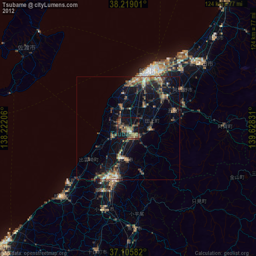
» Earth at Night: Flat Maps 2012, 2016