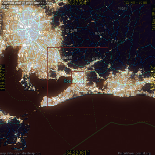
Kozakai-chō night lights from space
Night Light of Kozakai-chō (Aichi) from space (Japan) Src. Average luminocity for 10x10km area is 74.8681% and for 50x50km: 29.3863%.
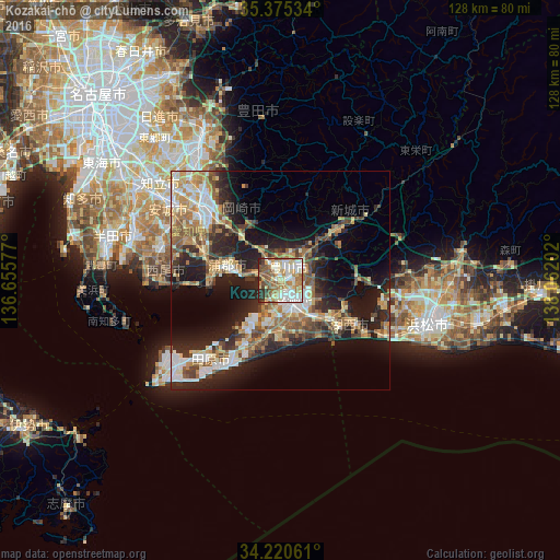
Analysis of Kozakai-chō night lights 2016
Square area 10x10 km:
 13.74%
90-99
21.98%80-89
12.64%70-79
9.71%60-69
15.93%50-59
12.27%40-49
6.78%30-39
4.76%20-29
2.2%10-19
0%0-9
0%Square area 50x50 km:
3.79%90-99
5.17%80-89
3.84%70-79
4.12%60-69
5%50-59
4.55%40-49
4.33%30-39
4.4%20-29
9.03%10-19
14.8%0-9
40.96%Clear (daylight) street map image can be seen on geolist.org.
Map coordinates:
35° 22' 31.2" North, 136° 39' 20.8" East
34° 48' 0" North, 137° 21' 32" East
34° 13' 14.2" North, 138° 3' 43.3" East
Some cities around Kozakai-chō sort by population:
• Toyohashi
4.3 km =2.7 mi,  148°
148°
• Okazaki
24.2 km =15 mi,  313°
313°
• Anjō
30.9 km =19.2 mi,  304°
304°
• Toyokawa
4.2 km =2.6 mi,  63°
63°
• Nishio
29.1 km =18.1 mi,  284°
284°
• Gamagōri
12 km =7.5 mi,  287°
287°
• Tahara
17.1 km =10.6 mi,  209°
209°
• Shinshiro
17 km =10.6 mi,  49°
49°
1858591 (p: 22,064)
Sources (retrieved 2019-11-25):
» Earth at Night: Flat Maps 2012, 2016