Gamagōri night lights from space
Night Light of Gamagōri (Aichi) from space (Japan) Src. Average luminocity for 10x10km area is 40.2271% and for 50x50km: 38.0371%.
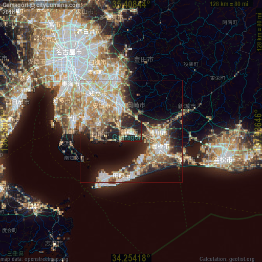
Analysis of Gamagōri night lights 2016
Square area 10x10 km:
 2.93%
2.93%90-99
4.76%80-89
5.86%70-79
4.58%60-69
10.26%50-59
3.48%40-49
2.75%30-39
10.99%20-29
24.73%10-19
29.67%0-9
0%Square area 50x50 km:
5.81%90-99
7.83%80-89
5.75%70-79
5.83%60-69
7.17%50-59
5.32%40-49
4.44%30-39
4.51%20-29
8.18%10-19
12.39%0-9
32.77%Clear (daylight) street map image can be seen on geolist.org.
Map coordinates:
35° 24' 30.4" North, 136° 31' 48.8" East
34° 49' 60" North, 137° 13' 60" East
34° 15' 15" North, 137° 56' 11.3" East
Some cities around Gamagōri sort by population:
• Toyohashi
15.6 km =9.7 mi,  118°
118°
• Okazaki
14.3 km =8.9 mi,  334°
334°
• Anjō
19.7 km =12.2 mi,  314°
314°
• Toyokawa
15.3 km =9.5 mi,  96°
96°
• Nishio
17.1 km =10.6 mi,  282°
282°
• Tahara
18.8 km =11.7 mi,  170°
170°
• Ishiki
20.1 km =12.5 mi,  259°
259°
• Kozakai-chō
12 km =7.5 mi,  107°
107°
1863693 (p: 80,786)
Sources (retrieved 2019-11-25):
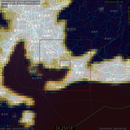
» NASA, Earths city lights 1995
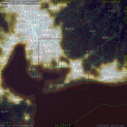
» NASA city lights 2003
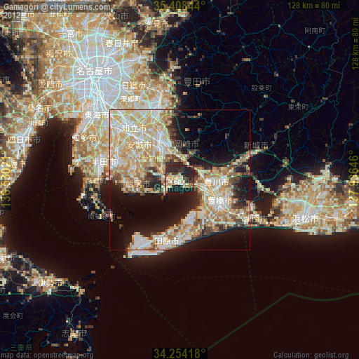
» Earth at Night: Flat Maps 2012, 2016