Tennō night lights from space
Night Light of Tennō (Akita) from space (Japan) Src. Average luminocity for 10x10km area is 7.5697% and for 50x50km: 4.988%.
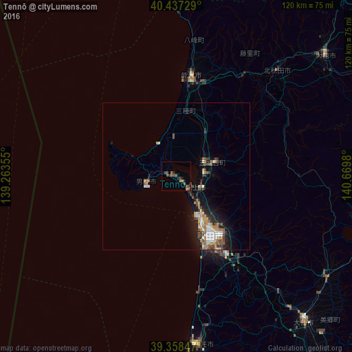
Analysis of Tennō night lights 2016
Square area 10x10 km:
 0%
0%90-99
0%80-89
0%70-79
0.68%60-69
2.04%50-59
3.23%40-49
3.57%30-39
0.34%20-29
3.4%10-19
1.02%0-9
85.71%Square area 50x50 km:
0.59%90-99
0.82%80-89
0.47%70-79
0.51%60-69
0.89%50-59
0.79%40-49
0.84%30-39
0.61%20-29
1.4%10-19
2.99%0-9
90.09%Clear (daylight) street map image can be seen on geolist.org.
Map coordinates:
40° 26' 14.2" North, 139° 15' 48.8" East
39° 54' 0" North, 139° 58' 0" East
39° 21' 30.5" North, 140° 40' 11.3" East
Some cities around Tennō sort by population:
• Akita
24.1 km =15 mi,  147°
147°
• Ōdate
65.1 km =40.5 mi,  50°
50°
• Noshiro
34.7 km =21.6 mi,  8°
8°
• Yokote
81.9 km =50.9 mi,  142°
142°
• Ōmagari
66.8 km =41.5 mi, 138°
• Hanawa
76.6 km =47.6 mi,  65°
65°
• Takanosu
49.4 km =30.7 mi,  43°
43°
• Kakunodatemachi
61.9 km =38.5 mi,  123°
123°
1850405 (p: 22,740)
Sources (retrieved 2019-11-25):
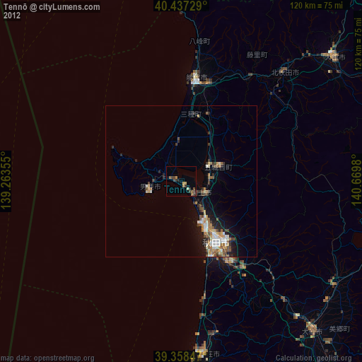
» Earth at Night: Flat Maps 2012, 2016