Yokosuka night lights from space
Night Light of Yokosuka (Kanagawa) from space (Japan) Src. Average luminocity for 10x10km area is 63.9139% and for 50x50km: 32.8083%.
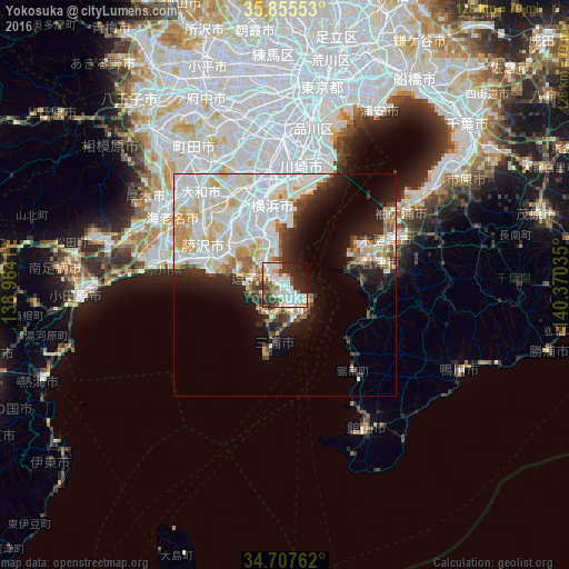
Analysis of Yokosuka night lights 2016
Square area 10x10 km:
 16.85%
90-99
22.71%80-89
4.76%70-79
4.58%60-69
5.13%50-59
6.04%40-49
4.76%30-39
12.45%20-29
14.1%10-19
7.14%0-9
1.47%Square area 50x50 km:
10.15%90-99
10.08%80-89
3.94%70-79
3.02%60-69
2.46%50-59
1.74%40-49
1.87%30-39
2.98%20-29
5.07%10-19
7.65%0-9
51.04%Clear (daylight) street map image can be seen on geolist.org.
Map coordinates:
35° 51' 19.9" North, 138° 57' 50.8" East
35° 17' 1" North, 139° 40' 2" East
34° 42' 27.4" North, 140° 22' 13.3" East
Some cities around Yokosuka sort by population:
• Yokohama
16.7 km =10.4 mi,  354°
354°
• Fujisawa
18.8 km =11.7 mi,  292°
292°
• Kamakura
11 km =6.8 mi,  284°
284°
• Kimitsu
19.9 km =12.4 mi,  68°
68°
• Zushi
8.2 km =5.1 mi, 278°
• Futtsu
14.1 km =8.8 mi,  77°
77°
• Miura
16.6 km =10.3 mi,  195°
195°
• Hayama
8.2 km =5.1 mi,  264°
264°
1848313 (p: 428,992)
Sources (retrieved 2019-11-25):
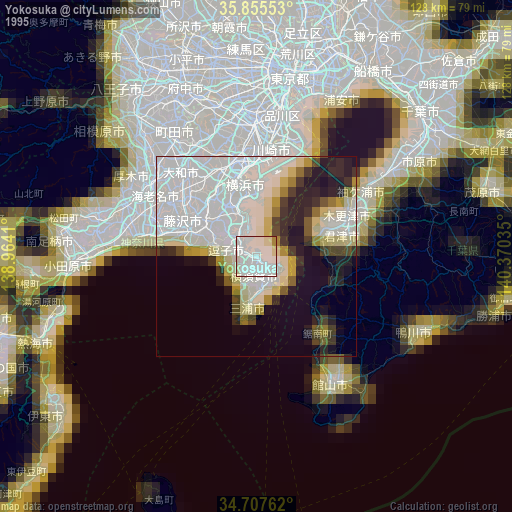
» NASA, Earths city lights 1995
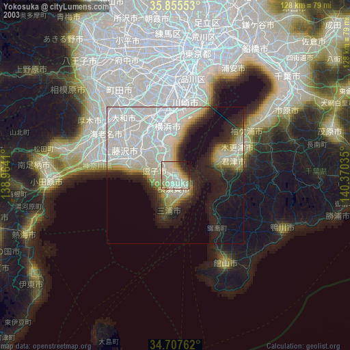
» NASA city lights 2003
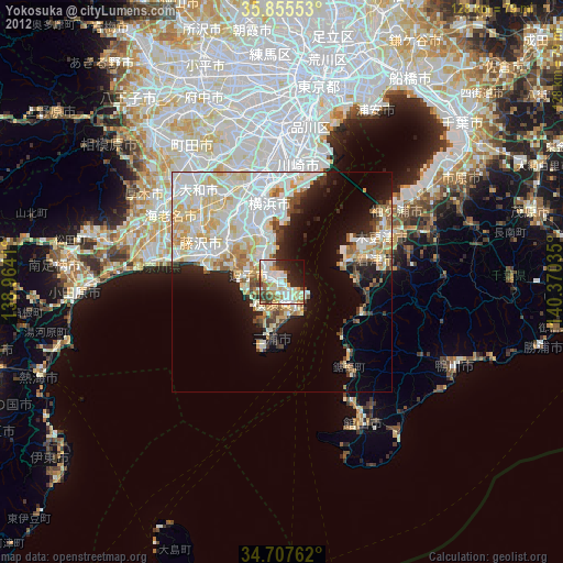
» Earth at Night: Flat Maps 2012, 2016